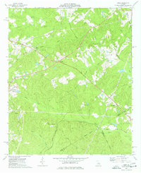
1973 Map of James
USGS Topo · Published 1977About this map
Central of Georgia rail lines cut through the heart of Jones and Wilkinson counties in the early 1970s, serving the small community of Lewiston. The landscape is a network of rural settlements and crossroad junctions, including James and Greenberry Crossroads, where local life centered around several country churches like Friendship Ch and Marys Chapel. These small communities are connected by a web of light-duty roads and jeep trails that navigate the many drainage systems flowing toward the Oconee River basin.
Find a feature on this map
30 named features on this map. Tap any name to fly to it.
Don’t see what you’re looking for? This feature index may not catch every label — zoom into the map to look around manually.
Map Details
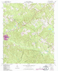
Editions of this 1973 James Map
2 editions found
Other maps of this area

1953 · Athens
USGS Topo · 1:250,000

1956 · Gordon
USGS Topo · 1:62,500

1956 · Macon East
USGS Topo · 1:24,000

1956 · Macon
USGS Topo · 1:62,500

1957 · Macon
USGS Topo · 1:250,000

1958 · Macon
USGS Topo · 1:250,000

1958 · Athens
USGS Topo · 1:250,000

1959 · Athens
USGS Topo · 1:250,000

1963 · Athens
USGS Topo · 1:250,000

1964 · Macon
USGS Topo · 1:250,000