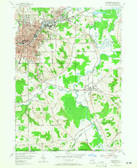
1954 Map of Jamestown
USGS Topo · Published 1965About this map
Jamestown and its surrounding industrial and residential landscape appear in detail during the mid-1950s, showing a city defined by its relationship with the Chadakoin River and major rail lines. The industrial corridors are anchored by the Erie RR and New York Central railroads, which facilitated the region's manufacturing growth. Educational infrastructure is well-represented, with several neighborhood institutions like Washington Jr High Sch and Lillian Dickson Sch serving the local population.
Find a feature on this map
60 named features on this map. Tap any name to fly to it.
Don’t see what you’re looking for? This feature index may not catch every label — zoom into the map to look around manually.
Map Details
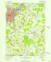
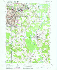
Editions of this 1954 Jamestown Map
3 editions found
Other maps of this area

1904 · Chautaqua
USGS Topo · 1:62,500

1905 · Jamestown
USGS Topo · 1:62,500

1906 · Warren
USGS Topo · 1:62,500

1907 · Warren
USGS Topo · 1:62,500

1908 · Warren
USGS Topo · 1:62,500

1926 · Youngsville
USGS Topo · 1:62,500

1929 · Youngsville
USGS Topo · 1:62,500

1941 · Chautauqua
USGS Topo · 1:62,500

1942 · Jamestown
USGS Topo · 1:62,500

1943 · Youngsville
USGS Topo · 1:62,500