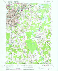
1954 Map of Jamestown
USGS Topo · Published 1980About this map
Jamestown stands as the industrial and cultural heart of this southern Chautauqua County landscape, centered at the confluence of several vital waterways and rail lines. The city's mid-century expansion is evidenced by a dense network of neighborhood institutions, including Washington Junior High School, Lillian Dickson School, and Smith School. To the northeast, the village of Falconer borders the city along the Conrail lines, while the surrounding townships of Ellicott, Poland, and Kiantone maintain a more rural character defined by drainage basins like Cassadaga Creek and Conewango Creek.
Find a feature on this map
78 named features on this map. Tap any name to fly to it.
Don’t see what you’re looking for? This feature index may not catch every label — zoom into the map to look around manually.
Map Details
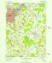
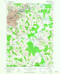
Editions of this 1954 Jamestown Map
3 editions found
Other maps of this area

1904 · Chautaqua
USGS Topo · 1:62,500

1905 · Jamestown
USGS Topo · 1:62,500

1906 · Warren
USGS Topo · 1:62,500

1907 · Warren
USGS Topo · 1:62,500

1908 · Warren
USGS Topo · 1:62,500

1926 · Youngsville
USGS Topo · 1:62,500

1929 · Youngsville
USGS Topo · 1:62,500

1941 · Chautauqua
USGS Topo · 1:62,500

1942 · Jamestown
USGS Topo · 1:62,500

1943 · Youngsville
USGS Topo · 1:62,500