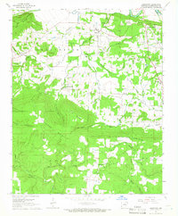
1965 Map of Jamestown
USGS Topo · Published 1966About this map
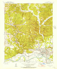
The Indian Treaty Boundary cuts across the northwest corner of this Independence County landscape, marking a historical line of demarcation near Old Dean Mountain. In the mid-1960s, the area's geography is defined by the transition from the White River bottomlands in the northeast—where Luster Island and Earnheart Island sit—to the significant elevations of Jamestown Mountain and Relief Mountain. The settlement pattern follows the drainage of Greenbrier Creek and Caney Creek, with small communities like Locust Grove and Desha serving as local hubs.
Find a feature on this map
57 named features on this map. Tap any name to fly to it.
Don’t see what you’re looking for? This feature index may not catch every label — zoom into the map to look around manually.
Map Details
Editions of this 1965 Jamestown Map
2 editions found
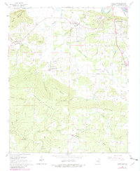
Other maps of this area

1890 · Batesville
USGS Topo · 1:125,000

1891 · Batesville
USGS Topo · 1:125,000
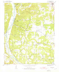
1942 · Bethesda
USGS Topo · 1:24,000
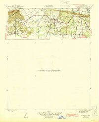
1942 · Jamestown
USGS Topo · 1:31,680
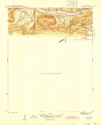
1942 · Almond
USGS Topo · 1:31,680
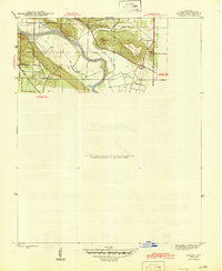
1942 · Salado
USGS Topo · 1:31,680
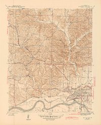
1942 · Batesville
USGS Topo · 1:31,680
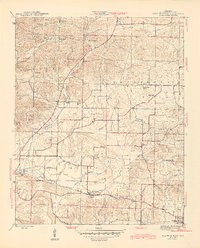
1943 · Sulphur Rock
USGS Topo · 1:31,680
1943 · Batesville
USGS Topo · 1:24,000

1953 · Memphis
USGS Topo · 1:250,000