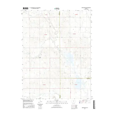
2015 Map of Jamestown NW
USGS Topo · Published 2015About this map
Sportsmans Lake and the drainage network of Marsh Cr dominate the topography where Republic and Cloud Counties meet. This agricultural landscape is defined by the convergence of several waterways, including Buffalo Cr and Dry Cr in the south and the winding paths of E Marsh Cr and W Marsh Cr to the north. These creeks reflect the traditional land use patterns of north-central Kansas, with section-line roads like K RD and L RD framing the countryside.
Find a feature on this map
42 named features on this map. Tap any name to fly to it.
Don’t see what you’re looking for? This feature index may not catch every label — zoom into the map to look around manually.
Map Details
Editions of this 2015 Jamestown NW Map
This is the sole edition of this map. No revisions or reprints were ever made.
Other maps of this area

1892 · Concordia
USGS Topo · 1:125,000

1894 · Mankato
USGS Topo · 1:125,000

1955 · Manhattan
USGS Topo · 1:250,000

1955 · Beloit
USGS Topo · 1:250,000

1956 · Manhattan
USGS Topo · 1:250,000

1957 · Manhattan
USGS Topo · 1:250,000

1959 · Beloit
USGS Topo · 1:250,000

1962 · Jewell SE
USGS Topo · 1:24,000

1965 · Kackley
USGS Topo · 1:24,000

1966 · Scandia
USGS Topo · 1:24,000