
1966 Map of Scandia
USGS Topo · Published 1967About this map
The Republican River carves a fertile path through Republic County, defining the agricultural landscape of Scandia and the surrounding townships of White Rock, Union, and Courtland. In the mid-1960s, this area was a hub of water management and transportation, featuring the sophisticated irrigation networks of the Courtland Canal and Missouri Pacific Extension Canal. These engineering works, part of the development of the Missouri River Basin, support a terrain marked by numerous wells and siphons necessary for local farming.
Find a feature on this map
24 named features on this map. Tap any name to fly to it.
Don’t see what you’re looking for? This feature index may not catch every label — zoom into the map to look around manually.
Map Details
Editions of this 1966 Scandia Map
This is the sole edition of this map. No revisions or reprints were ever made.
Other maps of this area

1892 · Concordia
USGS Topo · 1:125,000

1955 · Manhattan
USGS Topo · 1:250,000

1956 · Manhattan
USGS Topo · 1:250,000

1957 · Manhattan
USGS Topo · 1:250,000

1965 · Concordia NW
USGS Topo · 1:24,000

1965 · Kackley
USGS Topo · 1:24,000
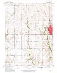
1966 · Belleville
USGS Topo · 1:24,000
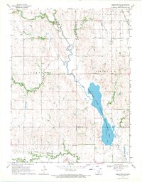
1968 · Jamestown NW
USGS Topo · 1:24,000
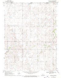
1968 · Belleville NW
USGS Topo · 1:24,000
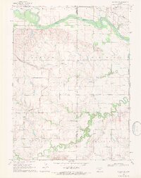
1969 · Scandia NW
USGS Topo · 1:24,000