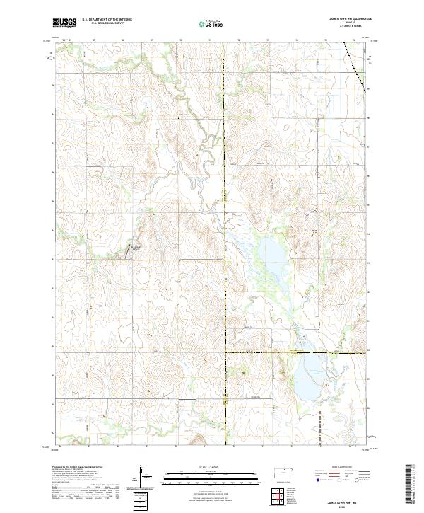
2022 Map of Jamestown NW
USGS Topo · Published 2022About this map
Caldwell Cem sits on a high point in the northern section of this landscape, overlooking a complex network of prairie drainage. This region is defined by the convergence of several major tributaries, including the eastward-flowing Buffalo Cr and the winding course of West Marsh Creek. The map documents a sparsely populated rural infrastructure where section lines are maintained by a grid of local roads such as Omio RD and Republic RD. The intersection of Jewell, Republic, and Cloud counties occurs here, marking a significant political boundary amidst the agricultural terrain. A notable modern landmark is the McCollough Airfield, which serves this remote corner of North Central Kansas. To the southeast, Sportsmans Lake and its surrounding wetlands near Marsh Trl indicate a localized basin for wildlife and water management where Skunk Cr and Marsh Cr converge.
Find a feature on this map
47 named features on this map. Tap any name to fly to it.
Don’t see what you’re looking for? This feature index may not catch every label — zoom into the map to look around manually.
Map Details
Editions of this 2022 Jamestown NW Map
This is the sole edition of this map. No revisions or reprints were ever made.
Other maps of this area

1892 · Concordia
USGS Topo · 1:125,000

1894 · Mankato
USGS Topo · 1:125,000

1955 · Manhattan
USGS Topo · 1:250,000

1955 · Beloit
USGS Topo · 1:250,000

1956 · Manhattan
USGS Topo · 1:250,000

1957 · Manhattan
USGS Topo · 1:250,000

1959 · Beloit
USGS Topo · 1:250,000

1962 · Jewell SE
USGS Topo · 1:24,000

1965 · Kackley
USGS Topo · 1:24,000

1966 · Scandia
USGS Topo · 1:24,000