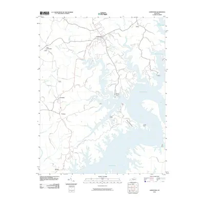
2010 Map of Jamestown
USGS Topo · Published 2010About this map
Jamestown serves as the hub of this region, situated just north of the extensive, winding shoreline of Lake Cumberland. The landscape is defined by the dendritic pattern of creeks and branches that feed the reservoir, including Lily Creek, Greasy Creek, and Clifty Creek. These waterways carve deep into the terrain, creating prominent landmarks like Wright Hollow and School House Hollow. Historically significant settlements such as Rowena, Freedom, and Sewellton are connected by a network of rural roads that often follow the high ridges between the lake's many inlets.
Find a feature on this map
65 named features on this map. Tap any name to fly to it.
Don’t see what you’re looking for? This feature index may not catch every label — zoom into the map to look around manually.
Map Details
Editions of this 2010 Jamestown Map
This is the sole edition of this map. No revisions or reprints were ever made.
Other maps of this area

1911 · Monticello
USGS Topo · 1:62,500

1914 · Monticello
USGS Topo · 1:62,500

1953 · Montpelier
USGS Topo · 1:24,000

1953 · Parnell
USGS Topo · 1:24,000

1953 · Wolf Creek Dam
USGS Topo · 1:24,000

1953 · Creelsboro
USGS Topo · 1:24,000

1953 · Jamestown
USGS Topo · 1:24,000

1954 · Jabez
USGS Topo · 1:24,000

1954 · Cumberland City
USGS Topo · 1:24,000

1954 · Russell Springs
USGS Topo · 1:24,000