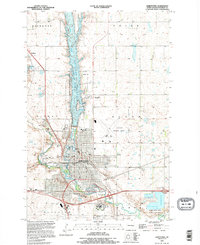
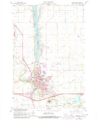
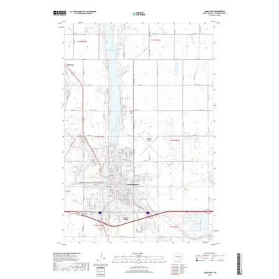
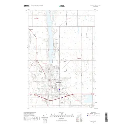
1990 Map of Jamestown
USGS Topo · Published 1995About this map
Jamestown dominates this landscape, where the James River and Pipestem Lake converge in the heart of Stutsman County. The city's civic and social footprint is well-documented, showing the campus of Jamestown College, the State Hosp complex, and the Jamestown Municipal Airport to the east. Local history and genealogy are anchored by several burial grounds, including Sunset Gardens, Highland Home Cem, and Jamestown Cem.
Find a feature on this map
44 named features on this map. Tap any name to fly to it.
Don’t see what you’re looking for? This feature index may not catch every label — zoom into the map to look around manually.
Map Details
Editions of this 1990 Jamestown Map
This is the sole edition of this map. No revisions or reprints were ever made.
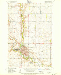
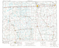
Historical Maps of Jamestown Through Time
12 maps found
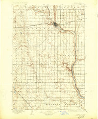
1896 Jamestown
Stutsman County, ND
1951 Jamestown
Stutsman County, ND
1953 Jamestown
Stutsman County, ND

1956 Jamestown
Stutsman County, ND
1966 Jamestown
Stutsman County, ND
1986 Jamestown
Stutsman County, ND
1990 Jamestown
Stutsman County, ND
2011 Jamestown
Stutsman County, ND
2014 Jamestown
Stutsman County, ND
2018 Jamestown
Stutsman County, ND
2020 Jamestown
Stutsman County, ND
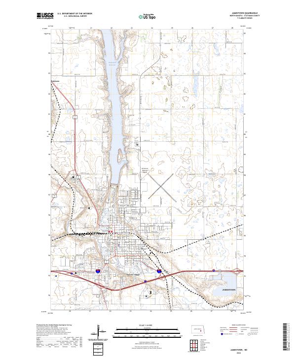
2024 Jamestown
Stutsman County, ND