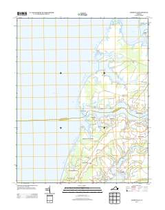
2013 Map of Jamesville
USGS Topo · Published 2013About this map
Occohannock Creek and Nandua Creek define the deeply indented shoreline of the Virginia Eastern Shore in this detailed survey. The landscape is characterized by a series of peninsulas or "necks," including Craddock Neck, Scarborough Neck, and Occohannock Neck, where maritime life and agriculture meet. These landforms create sheltered waters such as Johnson Cove and Bull Cove, which historically supported local commerce and transport.
Find a feature on this map
78 named features on this map. Tap any name to fly to it.
Don’t see what you’re looking for? This feature index may not catch every label — zoom into the map to look around manually.
Map Details
Editions of this 2013 Jamesville Map
This is the sole edition of this map. No revisions or reprints were ever made.
Other maps of this area

1942 · Nandua Creek
USGS Topo · 1:24,000

1942 · Nassawadox
USGS Topo · 1:24,000

1943 · Nassawadox
USGS Topo · 1:31,680

1943 · Jamesville
USGS Topo · 1:31,680

1943 · Pungoteague
USGS Topo · 1:31,680

1943 · Franktown
USGS Topo · 1:31,680

1943 · Exmore
USGS Topo · 1:24,000

1943 · Richmond
USGS Topo · 1:250,000

1944 · Exmore
USGS Topo · 1:31,680

1946 · Eastville
USGS Topo · 1:250,000