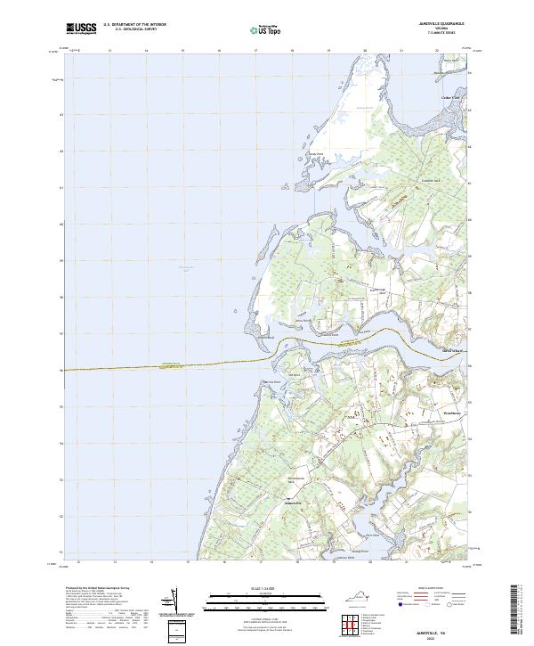
2022 Map of Jamesville
USGS Topo · Published 2022About this map
The boundary between Accomack and Northampton counties cuts across this coastal landscape of the Virginia Eastern Shore, where land is defined by long, narrow peninsulas reaching toward the Chesapeake Bay. Settlement patterns are concentrated along high ground, notably at Jamesville and Wardtown, connected by roads that navigate the intricate fingers of land such as Occohannock Neck and Scarborough Neck. These necks are separated by complex tidal waterways including Craddock Cr and Scarborough Gut.
Find a feature on this map
76 named features on this map. Tap any name to fly to it.
Don’t see what you’re looking for? This feature index may not catch every label — zoom into the map to look around manually.
Map Details
Editions of this 2022 Jamesville Map
This is the sole edition of this map. No revisions or reprints were ever made.
Other maps of this area

1942 · Nandua Creek
USGS Topo · 1:24,000

1942 · Nassawadox
USGS Topo · 1:24,000

1943 · Nassawadox
USGS Topo · 1:31,680

1943 · Jamesville
USGS Topo · 1:31,680

1943 · Pungoteague
USGS Topo · 1:31,680

1943 · Franktown
USGS Topo · 1:31,680

1943 · Exmore
USGS Topo · 1:24,000

1943 · Richmond
USGS Topo · 1:250,000

1944 · Exmore
USGS Topo · 1:31,680

1946 · Eastville
USGS Topo · 1:250,000