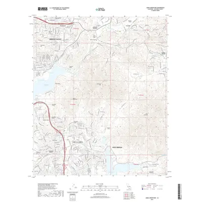
2018 Map of Jamul Mountains
USGS Topo · Published 2018About this map
Spring Valley and the expanding eastern reaches of Chula Vista anchor this 2018 topographic survey, showing a landscape defined by residential growth pressing against the dramatic relief of the Jamul Mountains. The map documents a sophisticated network of suburban development intertwined with preserved open spaces, such as the Sweetwater Reservoir and the Upper Otay Lake. Notable educational institutions including Cuyamaca College and Southwestern College serve as major hubs for the community.
Find a feature on this map
233 named features on this map. Tap any name to fly to it.
Don’t see what you’re looking for? This feature index may not catch every label — zoom into the map to look around manually.
Map Details
Editions of this 2018 Jamul Mountains Map
This is the sole edition of this map. No revisions or reprints were ever made.
Other maps of this area

1893 · El Cajon
USGS Topo · 1:62,500

1901 · Elcajon
USGS Topo · 1:62,500

1903 · Cuyamaca
USGS Topo · 1:125,000

1903 · La Jolla
USGS Topo · 1:62,500

1903 · Elcajon
USGS Topo · 1:62,500

1904 · San Diego
USGS Topo · 1:62,500

1904 · Southern California Sheet No. 2
USGS Topo · 1:250,000

1930 · La Jolla
USGS Topo · 1:62,500

1930 · San Diego
USGS Topo · 1:62,500

1939 · El Cajon
USGS Topo · 1:62,500