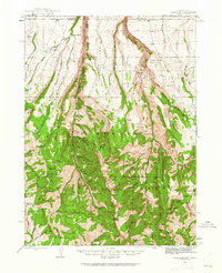
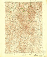
1943 Map of Jarbidge
USGS Topo · Published 1962About this map
The Jarbidge settlement stands as a focal point in this remote high-altitude landscape where the Jarbidge River carves deep canyons through the Humboldt National Forest. During the mid-twentieth century, the region's mining heritage remained visible through a cluster of operations such as the Success Mine, Bluster Mine, and Altitude Mine located near Jarbidge Peak. The map records a transition from industrial activity to forest management and ranching, evidenced by the Mahoney Ranger Station and scattered family holdings like Larios Ranch and Ward Ranch. The intricate drainage system, including the West Fork Marys River and numerous gulches, highlights the complex hydrology that supported both early prospectors and mid-century livestock operations. This 1943 survey provides a detailed record of the trails and cabins, such as Perkins Cabin, that served as essential landmarks in the high country before modern infrastructure reached the interior.
Find a feature on this map
67 named features on this map. Tap any name to fly to it.
Don’t see what you’re looking for? This feature index may not catch every label — zoom into the map to look around manually.
Map Details
Editions of this 1943 Jarbidge Map
3 editions found

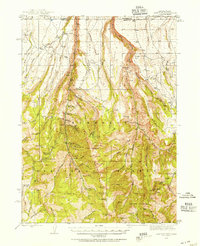
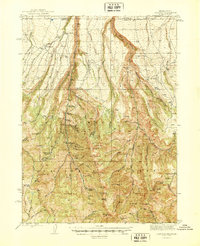
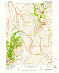
Other maps of this area
1935 · Charleston
USGS Topo · 1:48,000
1936 · Rowland
USGS Topo · 1:48,000
1940 · Rowland
USGS Topo · 1:62,500
1942 · Mt. Velma
USGS Topo · 1:62,500
1943 · Jarbidge
USGS Topo · 1:62,500
1945 · Jarbidge
USGS Topo · 1:62,500

1955 · Twin Falls
USGS Topo · 1:250,000

1955 · Wells
USGS Topo · 1:250,000
1957 · Elk Mountain
USGS Topo · 1:62,500

1958 · Wells
USGS Topo · 1:250,000