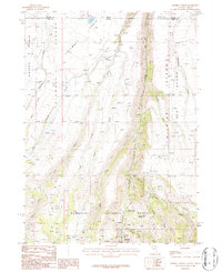
1986 Map of Jarbidge North
USGS Topo · Published 1987About this map
Humboldt National Forest dominates this high-altitude landscape along the border of Nevada and Idaho. The canyon carved by the Jarbidge River serves as a central artery for the region, where the Mahoney Ranger Station and a nearby Cem suggest a history of government administration and early mountain settlement. The terrain is defined by dramatic plateaus like Columbet and the Diamond A Desert, while the presence of a Landing Strip and named trails such as Freighters Defeat indicate the challenges of transportation and logistics in this remote area. Evidence of mineral exploration appears in several locations, including the Prospect Jack trail and scattered labels for Prospect and Prospects. Between the creek-cut drainages of Buck Creek and Columbet Creek, the map details a network of 4WD roads and pack trails that connected isolated camps and resources in the mid-1980s.
Find a feature on this map
31 named features on this map. Tap any name to fly to it.
Don’t see what you’re looking for? This feature index may not catch every label — zoom into the map to look around manually.
Map Details
Editions of this 1986 Jarbidge North Map
2 editions found
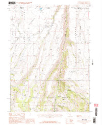
Other maps of this area

1936 · Rowland
USGS Topo · 1:48,000

1940 · Rowland
USGS Topo · 1:62,500

1943 · Jarbidge
USGS Topo · 1:62,500

1945 · Jarbidge
USGS Topo · 1:62,500

1955 · Twin Falls
USGS Topo · 1:250,000

1955 · Wells
USGS Topo · 1:250,000

1958 · Wells
USGS Topo · 1:250,000

1958 · Twin Falls
USGS Topo · 1:250,000

1961 · Wells
USGS Topo · 1:250,000

1979 · Cowan Reservoir
USGS Topo · 1:24,000