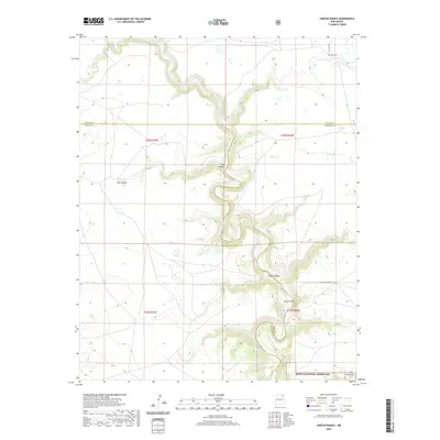
2020 Map of Jaritas Ranch
USGS Topo · Published 2020About this map
The Canadian River carves a deep, winding path through this high-plains landscape where Colfax, Mora, and Harding counties meet. In this part of northeastern New Mexico, the river is fed by several significant drainages including Ocate Cr, Jaritas Arroyo, and Sauz Cr. The terrain is defined by dramatic relief, most notably at the steep incisions of Dog Canyon, Pup Canyon, and Lodge Canyon. These geological features reflect the erosive power of the river system across the arid landscape.
Find a feature on this map
21 named features on this map. Tap any name to fly to it.
Don’t see what you’re looking for? This feature index may not catch every label — zoom into the map to look around manually.
Map Details
Editions of this 2020 Jaritas Ranch Map
This is the sole edition of this map. No revisions or reprints were ever made.
Other maps of this area

1954 · Raton
USGS Topo · 1:250,000

1958 · Raton
USGS Topo · 1:250,000

1964 · Stony Lake
USGS Topo · 1:24,000

1964 · Alto De Hormiga
USGS Topo · 1:24,000

1965 · Taylor Springs
USGS Topo · 1:24,000

1965 · Abbott
USGS Topo · 1:24,000

1965 · Springer
USGS Topo · 1:24,000

1971 · Abbott Lake
USGS Topo · 1:24,000

1972 · Canon Colorado
USGS Topo · 1:24,000
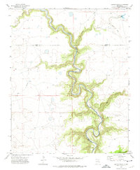
1972 · Jaritas Ranch
USGS Topo · 1:24,000