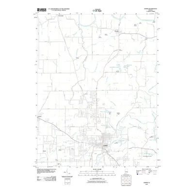
2010 Map of Jasper
USGS Topo · Published 2010About this map
The Jasper city center and its surrounding Dubois County townships are defined by a complex network of waterways, including the winding Patoka River and Crooked Creek. This 2010 survey illustrates the transition from the dense street grids of the county seat to the outlying rural settlements of Ireland, Haysville, and Portersville. The landscape is dotted with several family and community burial grounds, such as Sherritt Cemetery and Dillin Cemetery, which provide critical points of reference for local genealogical research. Northward, the East Fork White River carves through the terrain near Buck Shoals and White Hollow, while the drainage patterns of Portersville Drain and Mill Creek reveal the agricultural foundation of the region. Distinctive landmarks like Izaak Walton Lake and the low-lying Buffalo Flat anchor the terrain between these established communities.
Find a feature on this map
91 named features on this map. Tap any name to fly to it.
Don’t see what you’re looking for? This feature index may not catch every label — zoom into the map to look around manually.
Map Details
Editions of this 2010 Jasper Map
This is the sole edition of this map. No revisions or reprints were ever made.
Other maps of this area

1902 · Ditney
USGS Topo · 1:125,000

1903 · Velpen
USGS Topo · 1:62,500

1944 · Glendale
USGS Topo · 1:24,000

1946 · Jasper
USGS Topo · 1:24,000

1954 · Dubois
USGS Topo · 1:24,000

1954 · Huntingburg
USGS Topo · 1:24,000

1955 · Saint Anthony
USGS Topo · 1:24,000

1956 · Alfordsville
USGS Topo · 1:24,000

1956 · Rusk
USGS Topo · 1:24,000

1956 · Vincennes
USGS Topo · 1:250,000