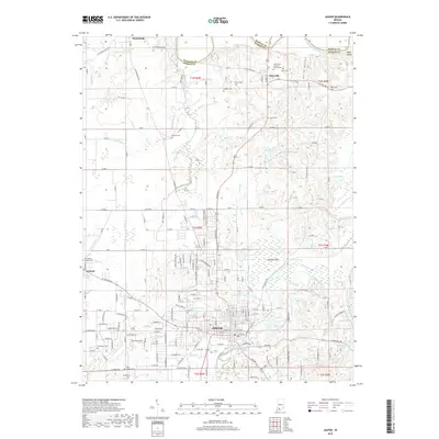
2019 Map of Jasper
USGS Topo · Published 2019About this map
Jasper and the surrounding countryside of Dubois Co are defined by a complex network of waterways, including the Patoka River and the East Fork White River. This 2019 survey captures the developed city center alongside numerous rural cemeteries that reflect the area's deep genealogical roots, such as the Dillin Cholera Cem and Saint Pauls Lutheran Church Cem. The landscape transitions from the urban density of Jasper to the wetlands of Buffalo Flat and the elevations near Buck Shoals.
Find a feature on this map
208 named features on this map. Tap any name to fly to it.
Don’t see what you’re looking for? This feature index may not catch every label — zoom into the map to look around manually.
Map Details
Editions of this 2019 Jasper Map
This is the sole edition of this map. No revisions or reprints were ever made.
Other maps of this area

1902 · Ditney
USGS Topo · 1:125,000

1903 · Velpen
USGS Topo · 1:62,500

1944 · Glendale
USGS Topo · 1:24,000

1946 · Jasper
USGS Topo · 1:24,000

1954 · Dubois
USGS Topo · 1:24,000

1954 · Huntingburg
USGS Topo · 1:24,000

1955 · Saint Anthony
USGS Topo · 1:24,000

1956 · Alfordsville
USGS Topo · 1:24,000

1956 · Rusk
USGS Topo · 1:24,000

1956 · Vincennes
USGS Topo · 1:250,000