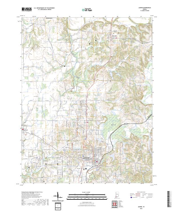
2022 Map of Jasper
USGS Topo · Published 2022About this map
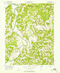
Jasper serves as the focal point of this Dubois County landscape, where the Dubois County Courthouse stands at the heart of the settlement. The town is situated along the Patoka River, which winds through the southern portion of the sheet near Vincennes University - Jasper Campus. To the north, the East Fork White River flows past Portersville, marking the boundary where Dubois and Martin counties meet.
Find a feature on this map
84 named features on this map. Tap any name to fly to it.
Don’t see what you’re looking for? This feature index may not catch every label — zoom into the map to look around manually.
Map Details
Editions of this 2022 Jasper Map
This is the sole edition of this map. No revisions or reprints were ever made.
Other maps of this area

1902 · Ditney
USGS Topo · 1:125,000
1903 · Velpen
USGS Topo · 1:62,500
1944 · Glendale
USGS Topo · 1:24,000
1946 · Jasper
USGS Topo · 1:24,000
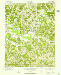
1954 · Dubois
USGS Topo · 1:24,000
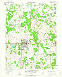
1954 · Huntingburg
USGS Topo · 1:24,000
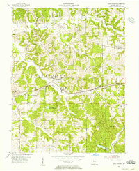
1955 · Saint Anthony
USGS Topo · 1:24,000
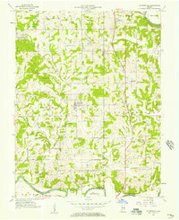
1956 · Alfordsville
USGS Topo · 1:24,000
1956 · Rusk
USGS Topo · 1:24,000

1956 · Vincennes
USGS Topo · 1:250,000