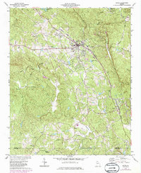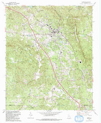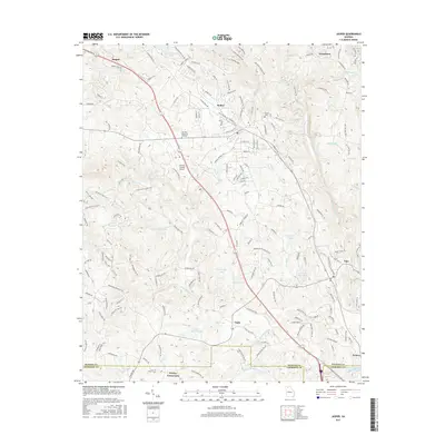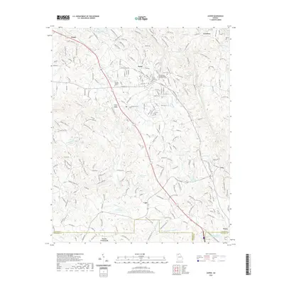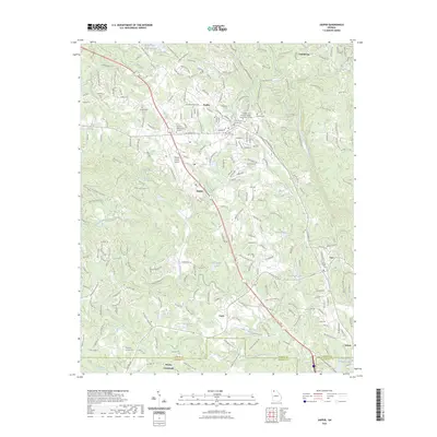
1997 Map of Jasper
USGS Topo · Published 1999About this map
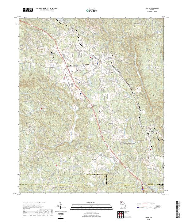
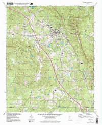
Jasper serves as the central hub of this North Georgia landscape, situated where the ridge of Philadelphia Hill meets the drainages of Town Creek and Pettit Creek. The map documents a community defined by its industrial and civic infrastructure, from the Pickens County Airport in the west to the Quarries and filtration plants that support the local economy. Religious and educational life is well-represented through numerous rural congregations such as Our Lady of the Mtn Ch and Bethany Ch, alongside the Pickens High Sch. To the south, the terrain descends toward Cagle and Nelson, following the path of the L & N railroad. This line provides a clear transport corridor through the valley, connecting the marble-rich areas near Tate with the broader rail network, while the western reaches are dominated by the prominent peaks of Sharp Mountain and Henderson Mountain.
Find a feature on this map
59 named features on this map. Tap any name to fly to it.
Don’t see what you’re looking for? This feature index may not catch every label — zoom into the map to look around manually.
Map Details
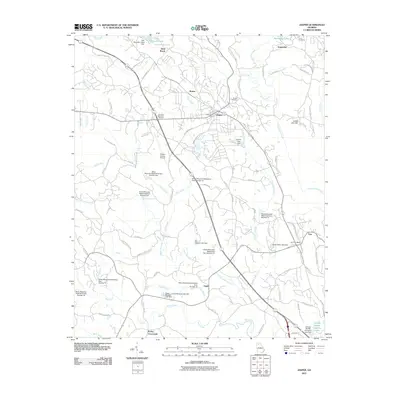
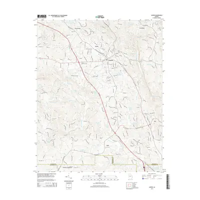
Editions of this 1997 Jasper Map
This is the sole edition of this map. No revisions or reprints were ever made.
Historical Maps of Jasper Through Time
9 maps found