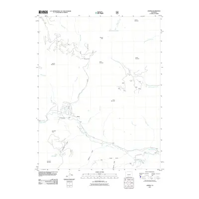
2011 Map of Jasper
USGS Topo · Published 2011About this map
Jasper sits along the southern bank of the Alamosa River, serving as a central point in this high-altitude landscape. The map details a region defined by its mining history and significant drainage networks, including the Jasper Mine and the Guadalupe Claims Group Mine located just west of the settlement. These operations were situated near the confluence of Jasper Creek and Burnt Creek, highlighting the importance of water access for early industrial activity.
Find a feature on this map
39 named features on this map. Tap any name to fly to it.
Don’t see what you’re looking for? This feature index may not catch every label — zoom into the map to look around manually.
Map Details
Editions of this 2011 Jasper Map
This is the sole edition of this map. No revisions or reprints were ever made.
Other maps of this area

1913 · Summitville
USGS Topo · 1:125,000

1914 · Creede
USGS Topo · 1:125,000

1915 · Summitville
USGS Topo · 1:125,000

1915 · Del Norte
USGS Topo · 1:125,000

1916 · Creede
USGS Topo · 1:125,000

1917 · Del Norte
USGS Topo · 1:125,000

1922 · Conejos
USGS Topo · 1:125,000

1945 · Durango
USGS Topo · 1:250,000

1953 · Durango
USGS Topo · 1:250,000

1954 · Durango
USGS Topo · 1:250,000