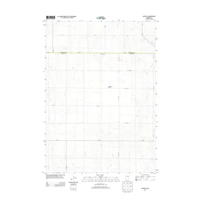
2013 Map of Jasper SE
USGS Topo · Published 2013About this map
The Coteau des Prairies upland plateau dominates this southwestern Minnesota landscape along the border of Pipestone Co and Rock Co. This high prairie region, characterized by its elevation above the surrounding plains, is marked by a deliberate grid of township roads and agricultural boundaries. Near the center of this 2013 survey lies Rose Dell Cem, a quiet landmark serving the local rural community. Drainage across the plateau is defined by the headwaters of Beaver Cr and Poplar Cr, which carve subtle paths through the terrain. Modern transit is anchored by Us-75, which runs north-south through the eastern portion of the quadrangle, intersecting a network of local routes like Co Hwy-1 and 201st St that follow the section lines of the original land surveys.
Find a feature on this map
19 named features on this map. Tap any name to fly to it.
Don’t see what you’re looking for? This feature index may not catch every label — zoom into the map to look around manually.
Map Details
Editions of this 2013 Jasper SE Map
This is the sole edition of this map. No revisions or reprints were ever made.
Other maps of this area

1955 · Sioux Falls
USGS Topo · 1:250,000

1958 · Sioux Falls
USGS Topo · 1:250,000

1967 · Edgerton South
USGS Topo · 1:24,000

1967 · Edgerton North
USGS Topo · 1:24,000

1967 · Garretson East
USGS Topo · 1:24,000

1967 · Jasper SE
USGS Topo · 1:24,000

1967 · Hills NE
USGS Topo · 1:24,000

1967 · Pipestone South
USGS Topo · 1:24,000

1967 · Jasper
USGS Topo · 1:24,000

1967 · Jasper NW
USGS Topo · 1:24,000