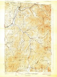
1925 Map of Jay Peak
USGS Topo · Published 1925About this map
Missisquoi River valley life in the mid-1920s is defined by its international proximity and industrial pockets. This northern border region is bisected by the Canadian Pacific and Central Vermont railroads, which facilitated timber and mineral extraction. The landscape is dotted with several small rural education centers, including Corey School and Hazens Notch School, serving dispersed settlements like Richford and Montgomery Center. Industrial activity is evident at the Asbestos Mine near Belvidere Mtn and various milling operations such as Tillotson Mill. The terrain rises sharply from the riverbanks toward the high points of Jay Peak and Big Jay, while historic transit routes like Hazens Road wind through the notches. This map captures the Green Mountains before modern ski development, when the economy was still anchored in rail-side mills and high-altitude mining.
Find a feature on this map
90 named features on this map. Tap any name to fly to it.
Don’t see what you’re looking for? This feature index may not catch every label — zoom into the map to look around manually.
Map Details
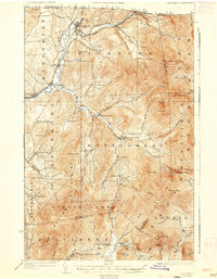
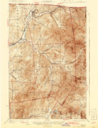
Editions of this 1925 Jay Peak Map
4 editions found
Other maps of this area

1919 · Montgomery
USGS Topo · 1:62,500

1920 · Franklin Pond
USGS Topo · 1:62,500

1920 · Montgomery
USGS Topo · 1:62,500

1920 · Irasburg
USGS Topo · 1:62,500

1922 · Enosburg Falls
USGS Topo · 1:48,000

1923 · Irasburg
USGS Topo · 1:48,000

1924 · Enosburg Falls
USGS Topo · 1:62,500

1925 · Irasburg
USGS Topo · 1:62,500

1925 · Jay Peak
USGS Topo · 1:62,500

1925 · Mount Mansfield
USGS Topo · 1:48,000