
1953 Map of Jay Peak
USGS Topo · Published 1954About this map
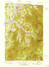
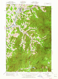
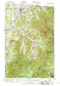
Jay Peak and the surrounding summits dominate this 1953 landscape, where the northern Vermont border meets the peaks of the Cold Hollow Mountains. The industrial and social life of the region is centered on the Missisquoi River valley, particularly at Richford, where the Canadian Pacific and Central Vermont railroads converge. This map captures a transition period for the local economy, featuring the Asbestos Mine on the slopes of Belvidere Mtn and the early recreational development seen at the Richford Country Club and various camps like the Laura Woodward Camp.
Find a feature on this map
86 named features on this map. Tap any name to fly to it.
Don’t see what you’re looking for? This feature index may not catch every label — zoom into the map to look around manually.
Map Details
Editions of this 1953 Jay Peak Map
4 editions found
Other maps of this area

1919 · Montgomery
USGS Topo · 1:62,500

1920 · Franklin Pond
USGS Topo · 1:62,500

1920 · Montgomery
USGS Topo · 1:62,500

1920 · Irasburg
USGS Topo · 1:62,500

1922 · Enosburg Falls
USGS Topo · 1:48,000

1923 · Irasburg
USGS Topo · 1:48,000

1924 · Enosburg Falls
USGS Topo · 1:62,500

1925 · Irasburg
USGS Topo · 1:62,500

1925 · Jay Peak
USGS Topo · 1:62,500

1925 · Mount Mansfield
USGS Topo · 1:48,000