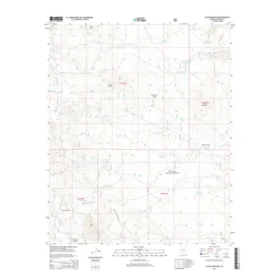
2014 Map of Jaycox Mountain
USGS Topo · Published 2014About this map
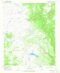
Coconino National Forest covers much of this landscape, where the high-altitude terrain of Jaycox Mountain and the Sawmill Hills defines the regional geography. This 2014 survey documents a network of critical water sources essential for survival and livestock in the arid Southwest, ranging from natural features like Dope Spring and Grapevine Spring to numerous man-made tanks. The presence of Indian Ruin Tank in the northeast corner suggests the deep human history of the area, while the Arizona National Scenic Trail winds through the southern portion, passing near Bargaman Park and Pine Mtn. The hydrology is further marked by the significant Canyon Diablo and Sawmill Wash, highlighting how water flow has carved the landscape over time. This map serves as a vital record of modern forest management and recreation within a territory that remains largely defined by its natural topography and seasonal water access points.
Find a feature on this map
64 named features on this map. Tap any name to fly to it.
Don’t see what you’re looking for? This feature index may not catch every label — zoom into the map to look around manually.
Map Details
Editions of this 2014 Jaycox Mountain Map
This is the sole edition of this map. No revisions or reprints were ever made.
Other maps of this area

1887 · Verde
USGS Topo · 1:250,000

1892 · Verde
USGS Topo · 1:250,000

1954 · Holbrook
USGS Topo · 1:250,000

1957 · Holbrook
USGS Topo · 1:250,000

1958 · Holbrook
USGS Topo · 1:250,000

1960 · Holbrook
USGS Topo · 1:250,000
1965 · Hutch Mtn.
USGS Topo · 1:24,000
1965 · Mormon Lake
USGS Topo · 1:24,000
1965 · Happy Jack
USGS Topo · 1:24,000
1970 · Kinnikinick Lake
USGS Topo · 1:24,000