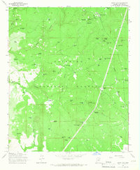
1965 Map of Happy Jack
USGS Topo · Published 1967About this map
Coconino National Forest dominates this high-altitude landscape, where deep incisions like Jacks Canyon and Brady Canyon break the timbered plateaus. The settlement of Happy Jack serves as a central point for forest management, evidenced by the nearby Ranger Station and the Buck Mtn Lookout Tower positioned atop Buck Mtn. This mid-century survey reflects an era of resource management and early recreation, with dozens of stock tanks and seasonal catchments like Mullican Tank No 2 and No Good Tank scattered through the woods to support livestock and wildlife.
Find a feature on this map
70 named features on this map. Tap any name to fly to it.
Don’t see what you’re looking for? This feature index may not catch every label — zoom into the map to look around manually.
Map Details
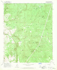
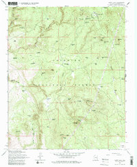
Editions of this 1965 Happy Jack Map
3 editions found
Other maps of this area

1887 · Verde
USGS Topo · 1:250,000

1892 · Verde
USGS Topo · 1:250,000

1923 · Camp Verde
USGS Topo · 1:125,000

1932 · Camp Verde
USGS Topo · 1:125,000

1936 · Camp Verde
USGS Topo · 1:125,000

1954 · Holbrook
USGS Topo · 1:250,000

1957 · Holbrook
USGS Topo · 1:250,000

1958 · Holbrook
USGS Topo · 1:250,000

1960 · Holbrook
USGS Topo · 1:250,000
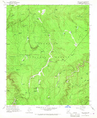
1965 · Long Valley
USGS Topo · 1:24,000