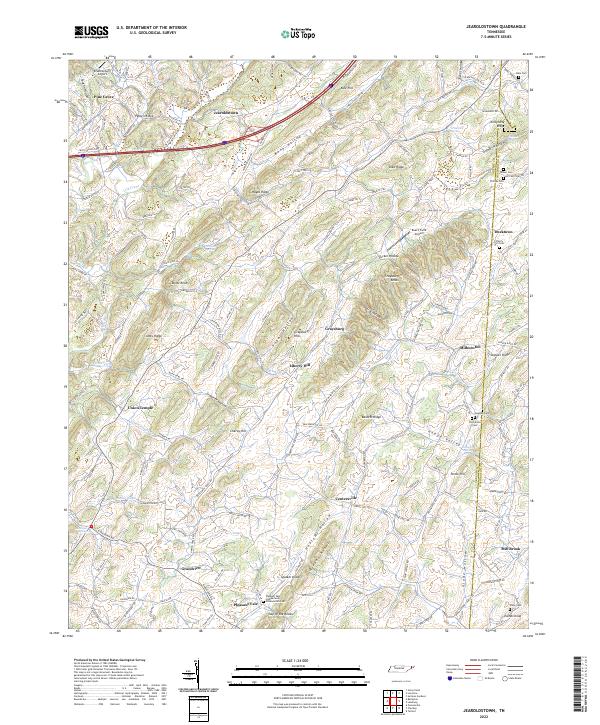
2022 Map of Jearoldstown
USGS Topo · Published 2022About this map
The rolling landscape of eastern Tennessee unfolds across the border of Greene and Washington counties, defined by a series of northeast-trending ridges such as Pyborn Ridge and Shed Ridge. This 2022 survey documents a rural mosaic of small settlements and family landmarks, where legacy communities like Jearoldstown, Graysburg, and Milburton are connected by a network of winding roads like Horton Hwy. The terrain is deeply inscribed with local history, evidenced by numerous small burial grounds including Hale Cem, Brown Cem, and the Pleasant Vale Cumberland Presbyterian Cem.
Find a feature on this map
172 named features on this map. Tap any name to fly to it.
Don’t see what you’re looking for? This feature index may not catch every label — zoom into the map to look around manually.
Map Details
Editions of this 2022 Jearoldstown Map
This is the sole edition of this map. No revisions or reprints were ever made.
Other maps of this area

1892 · Greeneville
USGS Topo · 1:125,000

1896 · Greeneville
USGS Topo · 1:125,000

1904 · Greeneville
USGS Topo · 1:125,000

1935 · Surgoinsville
USGS Topo · 1:48,000

1935 · Baileyton
USGS Topo · 1:24,000

1935 · Lovelace
USGS Topo · 1:24,000

1935 · Sullivan Gardens
USGS Topo · 1:24,000

1935 · Leesburg
USGS Topo · 1:24,000
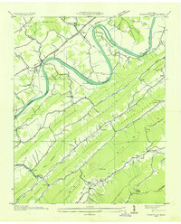
1935 · Stonypoint
USGS Topo · 1:24,000

1935 · Fall Branch
USGS Topo · 1:48,000