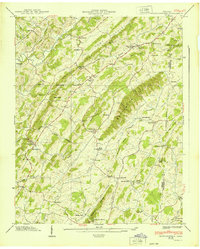
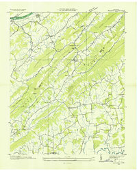
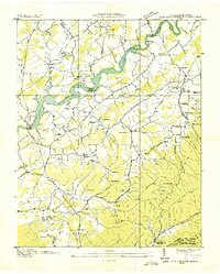
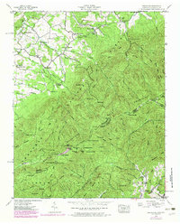
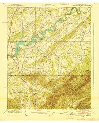
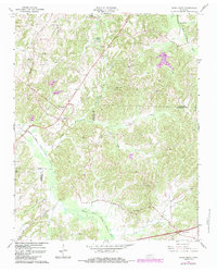
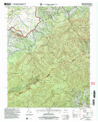
1939 Map of Jearoldstown
USGS Topo · Published 1939This historical map portrays the area of Jearoldstown in 1939, primarily covering Greene County as well as portions of Washington County. Featuring a scale of 1:24000, this map provides a highly detailed snapshot of the terrain, roads, buildings, counties, and historical landmarks in the Jearoldstown region at the time. Published in 1939, it is one of 3 known editions of this map due to revisions or reprints.
Find a feature on this map
75 named features on this map. Tap any name to fly to it.
Don’t see what you’re looking for? This feature index may not catch every label — zoom into the map to look around manually.
Map Details
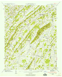
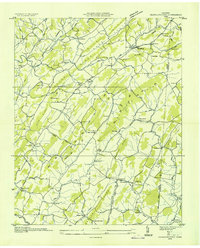
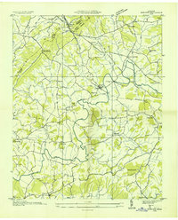
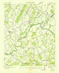
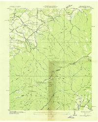
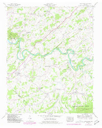
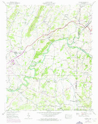
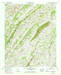
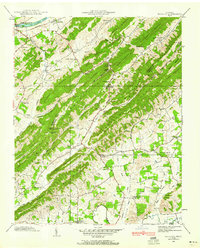
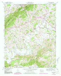
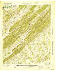
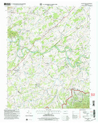
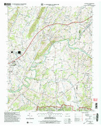
Editions of this 1939 Jearoldstown Map
3 editions found
Historical Maps of Pine Grove Through Time
23 maps found
1935 Cedar Creek
Greene County, TN
1935 Jearoldstown
Greene County, TN
1935 McCloud
Greene County, TN
1935 Mohawk
Greene County, TN
1936 Chuckey
Greene County, TN
1936 Greystone
Greene County, TN
1936 Lake Davy Crockett
Greene County, TN
1939 Cedar Creek
Greene County, TN
1939 Chuckey
Greene County, TN
1939 Davy Crockett Lake
Greene County, TN
1939 Greystone
Greene County, TN
1939 Jearoldstown
Greene County, TN
1939 Mc Cloud
Greene County, TN
1939 Mohawk
Greene County, TN
1940 Davy Crockett Lake
Greene County, TN
1940 Mc Cloud
Greene County, TN
1940 Mohawk
Greene County, TN
1961 Mc Cloud
Greene County, TN
1966 Cedar Creek
Greene County, TN
2003 Cedar Creek
Greene County, TN
2003 Chuckey
Greene County, TN
2003 Davy Crockett Lake
Greene County, TN
2003 Greystone
Greene County, TN