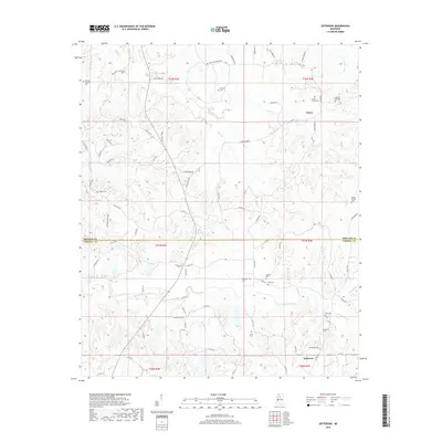
2018 Map of Jefferson
USGS Topo · Published 2018About this map
Nason and Jefferson anchor this northern Mississippi landscape, situated along the county line where Grenada Co meets Carroll Co. The area is defined by a dense network of small drainage systems, most notably Potacocowa Creek and its many tributaries like Dubard Br and O'Neal Br. This topography has historically shaped the placement of local roads and family-named cemeteries that dot the hills. Numerous burial sites including Swange Chapel Cem, Prospect Cem, and Sweet Home Cem suggest a long-established pattern of rural community life and family landholdings. Movement through the territory relies on a grid of county roads and named routes such as Holcomb Sweethome Rd and Dubard Rd, which connect the scattered homesteads and small settlements across the township and range divisions.
Find a feature on this map
80 named features on this map. Tap any name to fly to it.
Don’t see what you’re looking for? This feature index may not catch every label — zoom into the map to look around manually.
Map Details
Editions of this 2018 Jefferson Map
This is the sole edition of this map. No revisions or reprints were ever made.
Other maps of this area

1932 · Philipp
USGS Topo · 1:48,000

1935 · Philipp
USGS Topo · 1:62,500

1936 · Greenwood
USGS Topo · 1:62,500

1939 · Philipp
USGS Topo · 1:62,500

1940 · Greenwood
USGS Topo · 1:62,500

1953 · Greenwood
USGS Topo · 1:250,000

1953 · West Point
USGS Topo · 1:250,000

1954 · Grenada
USGS Topo · 1:62,500

1954 · McCarley
USGS Topo · 1:62,500

1956 · Greenwood
USGS Topo · 1:250,000