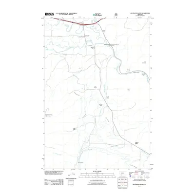
2011 Map of Jefferson Island
USGS Topo · Published 2011About this map
Boulder Valley serves as a critical junction where the Jefferson River meets the South Boulder River and Boulder River, creating a complex landscape of riparian channels and irrigation infrastructure. The local economy and land use are clearly defined by these water sources, evidenced by an extensive network of human-made waterworks including the Bricker Sparrow Ditch, North Fork Missouri Ditch, and Church Ditch. This 2011 survey documents a mix of agricultural heritage and industrial activity, with several mining operations such as the Oliverson Mine and La Hood Park Mine dotting the terrain near La Hood Park. Settlement is concentrated around Cardwell, featuring the Cardwell Post Office, and Jefferson Island, while the high ground is dominated by features like London Peak and Cave Mountain. Genealogy and local history researchers can locate the South Boulder Cemetery situated off Cemetery Hill Rd, providing a specific anchor for family history in this Montana river valley.
Find a feature on this map
39 named features on this map. Tap any name to fly to it.
Don’t see what you’re looking for? This feature index may not catch every label — zoom into the map to look around manually.
Map Details
Editions of this 2011 Jefferson Island Map
This is the sole edition of this map. No revisions or reprints were ever made.
Other maps of this area

1888 · Three Forks
USGS Topo · 1:250,000

1893 · Dillon
USGS Topo · 1:250,000

1894 · Three Forks
USGS Topo · 1:250,000

1895 · Three Forks
USGS Topo · 1:250,000

1947 · Bozeman
USGS Topo · 1:250,000

1948 · Bozeman
USGS Topo · 1:250,000

1950 · Jefferson Island
USGS Topo · 1:62,500

1950 · Harrison
USGS Topo · 1:62,500

1955 · Bozeman
USGS Topo · 1:250,000

1955 · Dillon
USGS Topo · 1:250,000