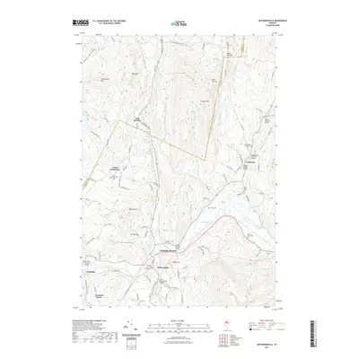
2021 Map of Jeffersonville
USGS Topo · Published 2021About this map
The Lamoille River and its various tributaries, including the North Branch Lamoille River and Brewster River, define the settlement patterns of this northern Vermont landscape. The village of Jeffersonville serves as a central hub near Cambridge Junction, where historic infrastructure is preserved through an unusual concentration of timber crossings. This area is notable for its numerous historic spans, such as the Poland Covered Bridge and the Grist Mill Covered Bridge.
Find a feature on this map
97 named features on this map. Tap any name to fly to it.
Don’t see what you’re looking for? This feature index may not catch every label — zoom into the map to look around manually.
Map Details
Editions of this 2021 Jeffersonville Map
This is the sole edition of this map. No revisions or reprints were ever made.
Other maps of this area

1919 · Montgomery
USGS Topo · 1:62,500

1920 · Franklin Pond
USGS Topo · 1:62,500

1920 · Montgomery
USGS Topo · 1:62,500

1922 · Enosburg Falls
USGS Topo · 1:48,000

1924 · Enosburg Falls
USGS Topo · 1:62,500

1925 · Jay Peak
USGS Topo · 1:62,500

1925 · Mount Mansfield
USGS Topo · 1:48,000

1927 · Mount Mansfield
USGS Topo · 1:62,500

1927 · Hyde Park
USGS Topo · 1:48,000

1930 · Hyde Park
USGS Topo · 1:62,500