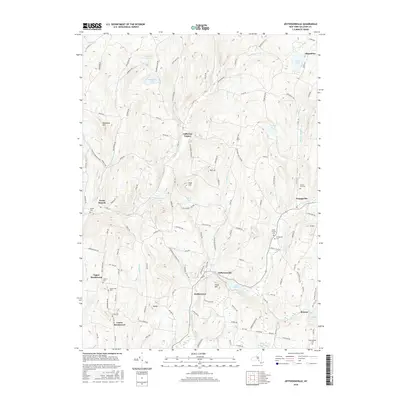
2016 Map of Jeffersonville
USGS Topo · Published 2016About this map
Jeffersonville and Callicoon Center anchor this Sullivan County landscape, where the East Branch Callicoon Creek and its many tributaries carve through the upland terrain. This 2016 survey documents the enduring settlement patterns of the Catskill foothills, characterized by small clusters like Kohlertown, Youngsville, and North Branch. The map is particularly rich for genealogical research, identifying numerous family-named burial grounds such as Bauernfeind Cem and Dorrer Cem that dot the hillsides.
Find a feature on this map
139 named features on this map. Tap any name to fly to it.
Don’t see what you’re looking for? This feature index may not catch every label — zoom into the map to look around manually.
Map Details
Editions of this 2016 Jeffersonville Map
This is the sole edition of this map. No revisions or reprints were ever made.
Other maps of this area

1920 · Long Eddy
USGS Topo · 1:62,500

1920 · Damascus
USGS Topo · 1:62,500

1921 · Long Eddy
USGS Topo · 1:48,000

1921 · Livingston Manor
USGS Topo · 1:62,500

1922 · White Lake
USGS Topo · 1:62,500

1923 · Damascus
USGS Topo · 1:62,500

1923 · Long Eddy
USGS Topo · 1:62,500

1923 · Livingston Manor
USGS Topo · 1:62,500

1942 · White Lake
USGS Topo · 1:62,500

1943 · Honesdale
USGS Topo · 1:125,000