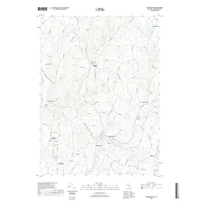
2019 Map of Jeffersonville
USGS Topo · Published 2019About this map
Jeffersonville sits at the convergence of mountain streams in this part of Sullivan County, where the East Branch Callicoon Creek meets the western and northern branches. The settlement pattern follows the narrow valley floors, with villages like Kohlertown and Youngsville established along the primary watercourses. This landscape is defined by its significant elevation changes, rising from the creek beds to peaks such as Swiss Hill and Mandrake Hill.
Find a feature on this map
140 named features on this map. Tap any name to fly to it.
Don’t see what you’re looking for? This feature index may not catch every label — zoom into the map to look around manually.
Map Details
Editions of this 2019 Jeffersonville Map
This is the sole edition of this map. No revisions or reprints were ever made.
Other maps of this area

1920 · Long Eddy
USGS Topo · 1:62,500

1920 · Damascus
USGS Topo · 1:62,500

1921 · Long Eddy
USGS Topo · 1:48,000

1921 · Livingston Manor
USGS Topo · 1:62,500

1922 · White Lake
USGS Topo · 1:62,500

1923 · Damascus
USGS Topo · 1:62,500

1923 · Long Eddy
USGS Topo · 1:62,500

1923 · Livingston Manor
USGS Topo · 1:62,500

1942 · White Lake
USGS Topo · 1:62,500

1943 · Honesdale
USGS Topo · 1:125,000