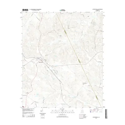
2014 Map of Jeffersonville
USGS Topo · Published 2014About this map
Jeffersonville serves as the focal point of this Central Georgia landscape, where the convergence of Us-80, Ga-18, and Ga-96 marks a long-standing regional transit hub. The town's grid is dense with local history, containing both the Jeffersonville Cem and Wimberly Cem. To the north, the small settlement of McCollum sits near McCollum Pond, while the surrounding countryside is defined by a network of family-named landmarks and rural burial grounds like King Cem, Durham Cem, and the Gallimore - Chapman Cem.
Find a feature on this map
79 named features on this map. Tap any name to fly to it.
Don’t see what you’re looking for? This feature index may not catch every label — zoom into the map to look around manually.
Map Details
Editions of this 2014 Jeffersonville Map
This is the sole edition of this map. No revisions or reprints were ever made.
Other maps of this area

1916 · Irwinton
USGS Topo · 1:62,500

1920 · Irwinton
USGS Topo · 1:62,500

1956 · Gordon
USGS Topo · 1:62,500

1956 · Jeffersonville
USGS Topo · 1:62,500

1957 · Macon
USGS Topo · 1:250,000

1958 · Macon
USGS Topo · 1:250,000

1964 · Macon
USGS Topo · 1:250,000

1973 · Massey Hill
USGS Topo · 1:24,000
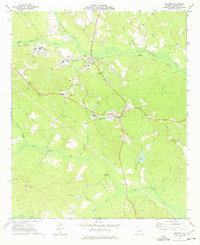
1973 · Irwinton
USGS Topo · 1:24,000

1973 · Tarversville
USGS Topo · 1:24,000