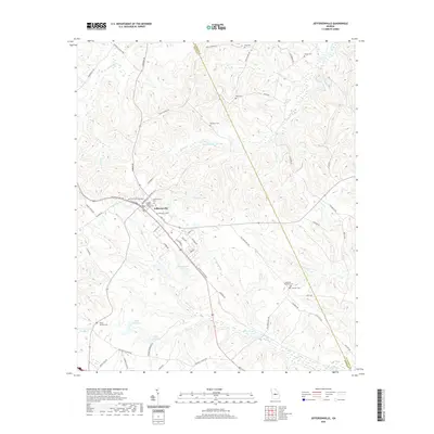
2020 Map of Jeffersonville
USGS Topo · Published 2020About this map
Jeffersonville serves as the focal point of this Central Georgia landscape, where the Twiggs County Courthouse stands at the junction of local transit and historical settlement. The town is surrounded by numerous family and community burial grounds, including Jeffersonville Cem, Wimberly Cem, and McCollum Cem, which provide significant data points for genealogical research. The terrain is defined by a dense network of small waterways and drainages such as Alligator Cr and Pennywrinkle Br, feeding into larger features like Hamrick Lake and Worsham Lake.
Find a feature on this map
70 named features on this map. Tap any name to fly to it.
Don’t see what you’re looking for? This feature index may not catch every label — zoom into the map to look around manually.
Map Details
Editions of this 2020 Jeffersonville Map
This is the sole edition of this map. No revisions or reprints were ever made.
Other maps of this area

1916 · Irwinton
USGS Topo · 1:62,500

1920 · Irwinton
USGS Topo · 1:62,500

1956 · Gordon
USGS Topo · 1:62,500

1956 · Jeffersonville
USGS Topo · 1:62,500

1957 · Macon
USGS Topo · 1:250,000

1958 · Macon
USGS Topo · 1:250,000

1964 · Macon
USGS Topo · 1:250,000

1973 · Massey Hill
USGS Topo · 1:24,000
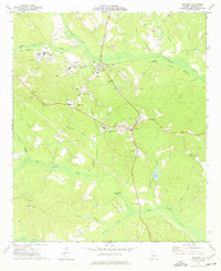
1973 · Irwinton
USGS Topo · 1:24,000

1973 · Tarversville
USGS Topo · 1:24,000