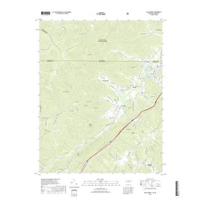
2019 Map of Jellico West
USGS Topo · Published 2019About this map
Jellico and the surrounding coal-bearing ridges of Campbell County sit at the heart of this study of the Tennessee-Kentucky border. The landscape is defined by its deep hollows and steep elevations, including Jellico Mtn and Pine Mountain, which hem in the settlements of Newcomb and Wooldridge. The presence of the L & N RR and legacy labels such as Old Standard Hollow suggest the area's industrial history, while the sprawling Daniel Boone National Forest dominates the northern terrain across the state line in Kentucky.
Find a feature on this map
115 named features on this map. Tap any name to fly to it.
Don’t see what you’re looking for? This feature index may not catch every label — zoom into the map to look around manually.
Map Details
Editions of this 2019 Jellico West Map
This is the sole edition of this map. No revisions or reprints were ever made.
Other maps of this area

1890 · Williamsburg
USGS Topo · 1:125,000

1893 · Briceville
USGS Topo · 1:125,000

1894 · Williamsburg
USGS Topo · 1:125,000

1895 · Briceville
USGS Topo · 1:125,000

1896 · Briceville
USGS Topo · 1:125,000

1936 · Ivydell
USGS Topo · 1:24,000

1936 · Pioneer
USGS Topo · 1:24,000

1936 · La Follette
USGS Topo · 1:48,000
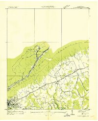
1936 · La Follette
USGS Topo · 1:24,000
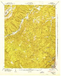
1946 · Ivydell
USGS Topo · 1:24,000