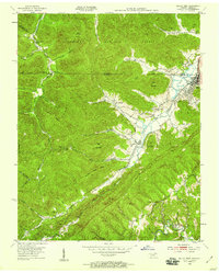
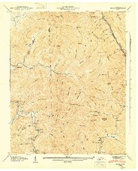
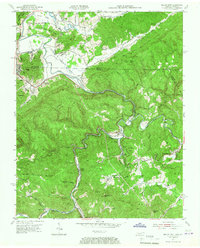
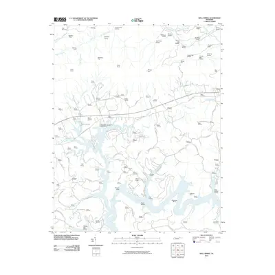
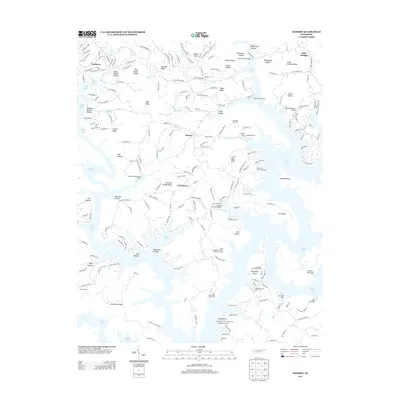
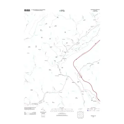
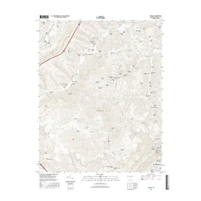
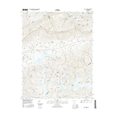
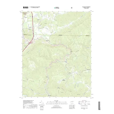
1953 Map of Jellico West
USGS Topo · Published 1959About this map
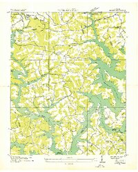
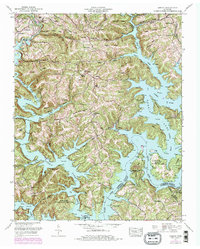
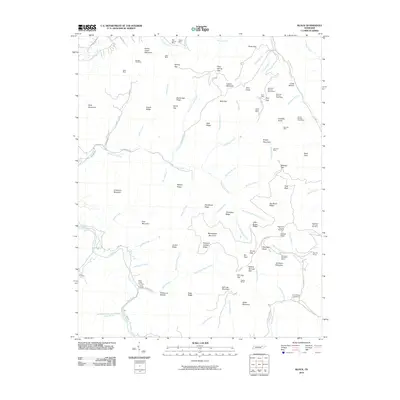
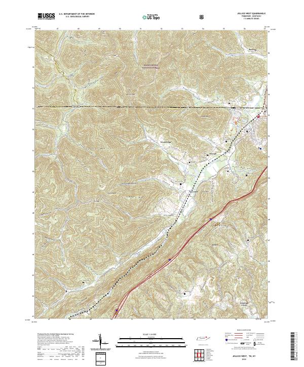
Jellico serves as the primary hub at the Tennessee-Kentucky border in the early 1950s, anchoring a landscape shaped by coal extraction and a network of mountain settlements. The Southern Railroad follows the path of Elk Creek, connecting industrial sites like the Old Burnt Mine near Standard Hollow to regional markets. This era of development is evidenced by the numerous mountain hollows and ridges, such as Pine Mountain and Negro Mountain, which contain isolated communities and family landmarks. The presence of an Old Railroad Grade near Wooldridge suggests a shifting industrial footprint as older routes were surpassed. Rural life is well-documented through a high density of local institutions, including the Rodeheaver Ch, Stinking Creek Sch, and numerous family burial grounds like the Beard Cem and Hackler Cem, which provide essential clues for genealogical research in this mountain corridor.
Find a feature on this map
54 named features on this map. Tap any name to fly to it.
Don’t see what you’re looking for? This feature index may not catch every label — zoom into the map to look around manually.
Map Details
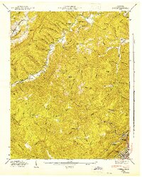
Editions of this 1953 Jellico West Map
2 editions found
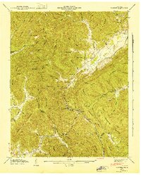
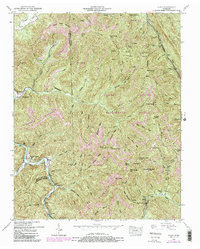
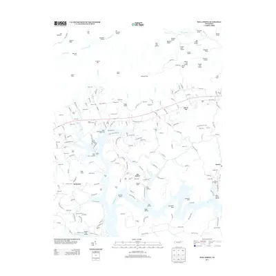
Historical Maps of Jellico Through Time
55 maps found
1935 Well Spring
Campbell County, TN
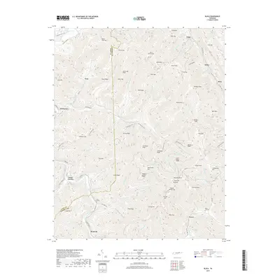
1936 Block
Campbell County, TN
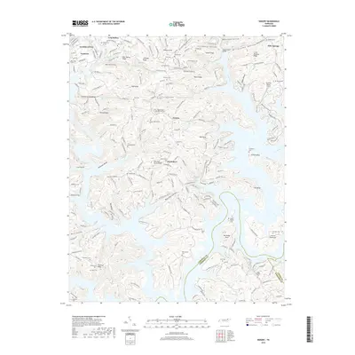
1936 Demory
Campbell County, TN
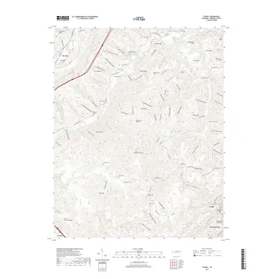
1936 Ivydell
Campbell County, TN
1936 Pioneer
Campbell County, TN
1941 Demory
Campbell County, TN

1942 Well Spring
Campbell County, TN
1946 Block
Campbell County, TN
1946 Ivydell
Campbell County, TN
1946 Pioneer
Campbell County, TN
1952 Block
Campbell County, TN
1952 Demory
Campbell County, TN
1952 Ivydell
Campbell County, TN
1952 Pioneer
Campbell County, TN
1952 Well Spring
Campbell County, TN
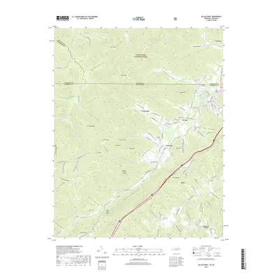
1953 Jellico East
Campbell County, TN
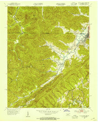
1953 Jellico West
Campbell County, TN
1970 Jellico East
Campbell County, TN
1973 Ivydell
Campbell County, TN
1979 Jellico West
Campbell County, TN
2010 Block
Campbell County, TN
2010 Demory
Campbell County, TN
2010 Ivydell
Campbell County, TN
2010 Pioneer
Campbell County, TN
2010 Well Spring
Campbell County, TN
2011 Jellico East
Campbell County, TN
2011 Jellico West
Campbell County, TN
2013 Block
Campbell County, TN
2013 Demory
Campbell County, TN
2013 Ivydell
Campbell County, TN
2013 Jellico East
Campbell County, TN
2013 Jellico West
Campbell County, TN
2013 Pioneer
Campbell County, TN
2013 Well Spring
Campbell County, TN
2016 Block
Campbell County, TN
2016 Demory
Campbell County, TN
2016 Ivydell
Campbell County, TN
2016 Jellico East
Campbell County, TN
2016 Jellico West
Campbell County, TN
2016 Pioneer
Campbell County, TN
2016 Well Spring
Campbell County, TN
2019 Block
Campbell County, TN
2019 Demory
Campbell County, TN
2019 Ivydell
Campbell County, TN
2019 Jellico East
Campbell County, TN
2019 Jellico West
Campbell County, TN
2019 Pioneer
Campbell County, TN
2019 Well Spring
Campbell County, TN
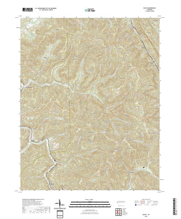
2022 Block
Campbell County, TN
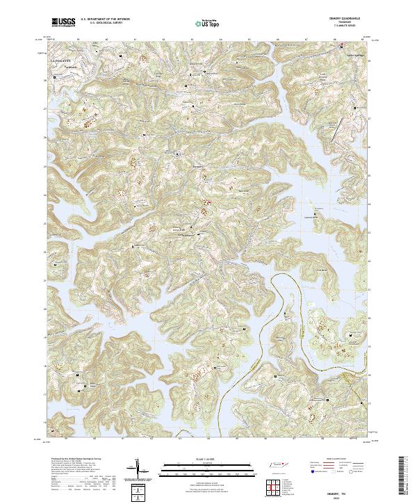
2022 Demory
Campbell County, TN
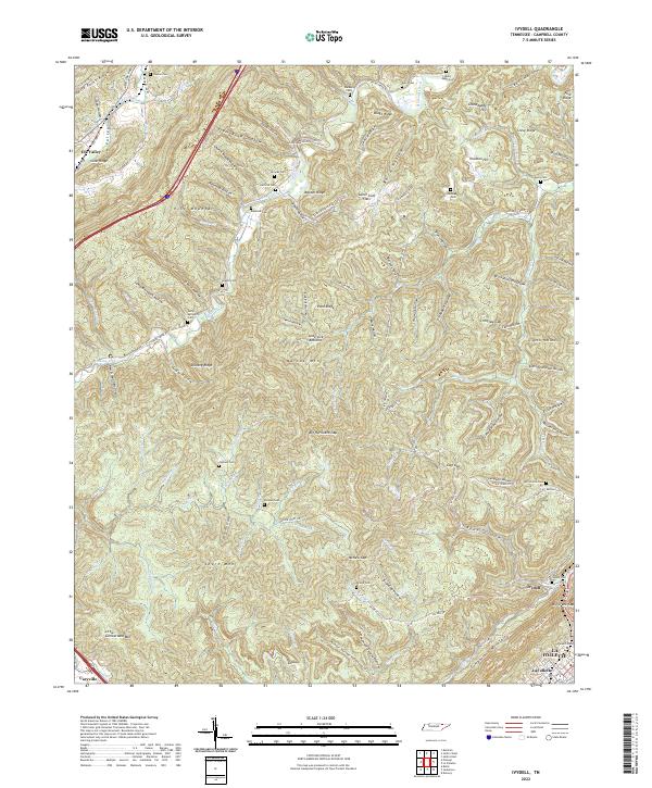
2022 Ivydell
Campbell County, TN
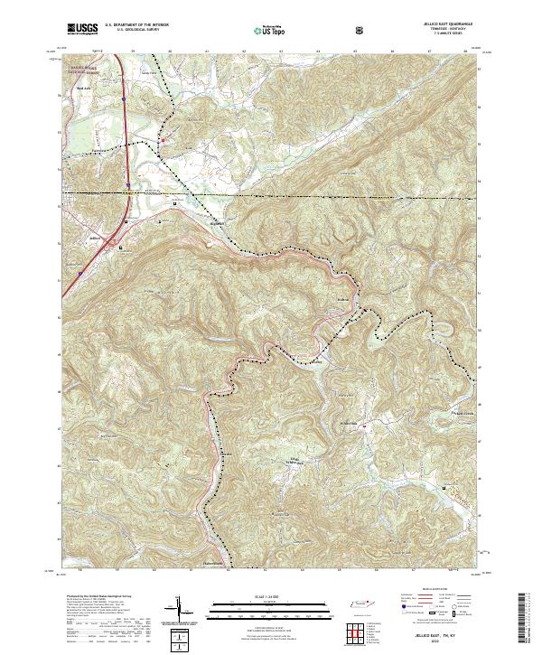
2022 Jellico East
Campbell County, TN
2022 Jellico West
Campbell County, TN
2022 Pioneer
Campbell County, TN
2022 Well Spring
Campbell County, TN