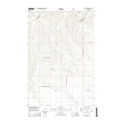
2014 Map of Jellison Place
USGS Topo · Published 2014About this map
Jellison Place marks a central point of activity within this high-country landscape on the border of Judith Basin and Wheatland counties. Much of the area is protected as part of the Lewis & Clark National Forest, characterized by a complex network of drainages and named canyons like Dark Canyon and Sawmill Canyon. Water management is a defining feature of the local geography, with various improvements such as the Middle Fork Reservoir and Jellison Reservoir capturing the flow from numerous mountain sources. Ranching and land use are evidenced by named features such as Freezers Bottom and the concentration of springs, including Beecher Spring, Muir Spring, and Hopley Spring. The terrain rises toward Spotted Ridge in the north, while the southern reaches are traversed by the Middle Fork Rd, following the winding path of Middle Fork Hopley Cr.
Find a feature on this map
32 named features on this map. Tap any name to fly to it.
Don’t see what you’re looking for? This feature index may not catch every label — zoom into the map to look around manually.
Map Details
Editions of this 2014 Jellison Place Map
This is the sole edition of this map. No revisions or reprints were ever made.
Other maps of this area

1886 · Little Belt Mts.
USGS Topo · 1:250,000

1889 · Big Snowy Mountain
USGS Topo · 1:250,000

1893 · Big Snowy Mountain
USGS Topo · 1:250,000

1894 · Little Belt Mts.
USGS Topo · 1:250,000

1897 · Little Belt Mts.
USGS Topo · 1:250,000

1898 · Little Belt Mts.
USGS Topo · 1:250,000

1902 · Little Belt Mts.
USGS Topo · 1:250,000

1948 · White Sulphur Springs
USGS Topo · 1:250,000

1954 · Roundup
USGS Topo · 1:250,000

1958 · Roundup
USGS Topo · 1:250,000