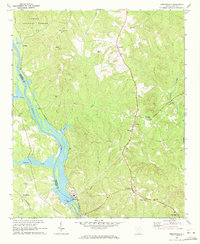
1969 Map of Jenkinsville
USGS Topo · Published 1972About this map
The Broad River and the Little River define the landscape of this region during the late 1960s, with the Parr Shoals Dam serving as a significant industrial anchor near Parr. This area, split between Fairfield Co and Newberry Co, is characterized by a dense network of country churches and small rural communities. Settlements like Monticello and Jenkinsville are connected by Highway 215, while the Southern railroad line follows the riverbank past Dawkins and Hope Station.
Find a feature on this map
44 named features on this map. Tap any name to fly to it.
Don’t see what you’re looking for? This feature index may not catch every label — zoom into the map to look around manually.
Map Details
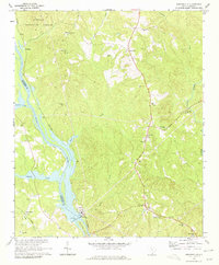
Editions of this 1969 Jenkinsville Map
2 editions found
Other maps of this area

1904 · Columbia
USGS Topo · 1:125,000

1941 · Spartanburg
USGS Topo · 1:250,000

1947 · Richtex
USGS Topo · 1:24,000

1949 · Richtex
USGS Topo · 1:24,000

1953 · Spartanburg
USGS Topo · 1:250,000

1960 · Spartanburg
USGS Topo · 1:250,000

1963 · Spartanburg
USGS Topo · 1:250,000

1964 · Spartanburg
USGS Topo · 1:250,000

1969 · Lebanon
USGS Topo · 1:24,000

1969 · Pomaria
USGS Topo · 1:24,000