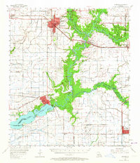
1955 Map of Jennings
USGS Topo · Published 1964About this map
The Mermentau River and its labyrinthine bayou system define the landscape of south-central Louisiana in this mid-century survey. The city of Jennings serves as the regional hub, showing a developed street grid anchored by the Court House, Jefferson Davis High Sch, and the Jennings Airport. To the south, the settlement of Lake Arthur sits at the head of its namesake Lake Arthur, where the Southern Pacific railroad crosses the water. This period was marked by extensive energy extraction, evidenced by the Egan Oil and Gas Field and several others scattered across the prairie. Rural life is well-documented through scattered landmarks such as St Gertrude Ch and family-linked sites like Andrus Cove Cem and Gaithes Point, illustrating the deep-rooted parish communities before modern consolidation altered the settlement patterns.
Find a feature on this map
44 named features on this map. Tap any name to fly to it.
Don’t see what you’re looking for? This feature index may not catch every label — zoom into the map to look around manually.
Map Details
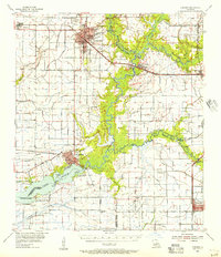
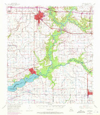
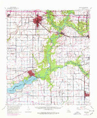
Editions of this 1955 Jennings Map
4 editions found
Other maps of this area

1934 · Latania Lake
USGS Topo · 1:24,000

1935 · Latania Lake
USGS Topo · 1:31,680

1946 · Morse
USGS Topo · 1:31,680

1946 · Lake Arthur
USGS Topo · 1:31,680

1946 · Schooner Bayou NW
USGS Topo · 1:31,680

1946 · Mermentau
USGS Topo · 1:31,680

1946 · Jennings
USGS Topo · 1:31,680

1947 · Evangeline
USGS Topo · 1:31,680

1947 · Thornwell
USGS Topo · 1:31,680

1947 · Pine Island
USGS Topo · 1:31,680