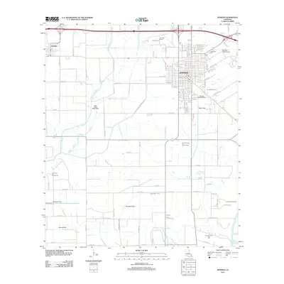
1955 Map of Jennings
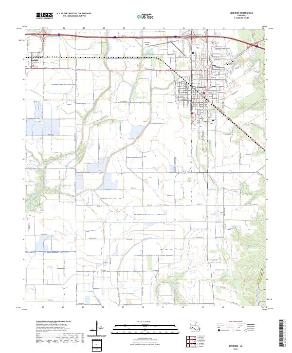
USGS Topo · Published 1978About this map
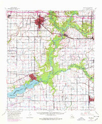
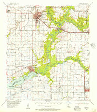
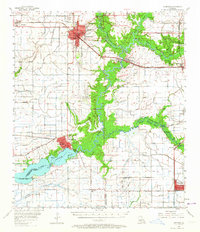
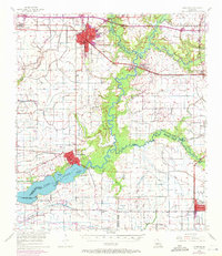
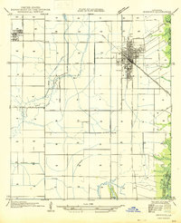
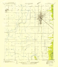
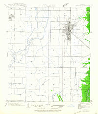
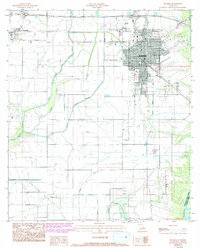
The Mermentau River and Lake Arthur define the drainage and commerce of this south Louisiana landscape, where the petroleum industry and agricultural land use meet. In the mid-1950s, the region was heavily shaped by extensive energy development, including the Jennings Oil and Gas Field and the South Jennings Oil and Gas Field. The map reveals a network of rural life organized around parish lines, with local educational and spiritual centers such as Jefferson Davis High Sch, Klondike Sch, and St Gertrude Ch serving the outlying populations. Transportation is anchored by the Southern Pacific railroad, which connects the primary hubs of Jennings, Roanoke, and Mermentau. This survey captures the intricate system of bayous, such as Grand Marais and Bayou Plaquemine Brule, alongside the numerous cemeteries including Indian Cem and Quebodeaux Cem that anchor the local genealogy of Acadia and Jefferson Davis parishes.
Find a feature on this map
49 named features on this map. Tap any name to fly to it.
Don’t see what you’re looking for? This feature index may not catch every label — zoom into the map to look around manually.
Map Details
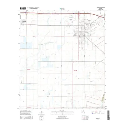
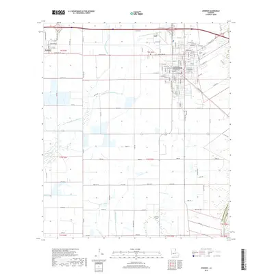
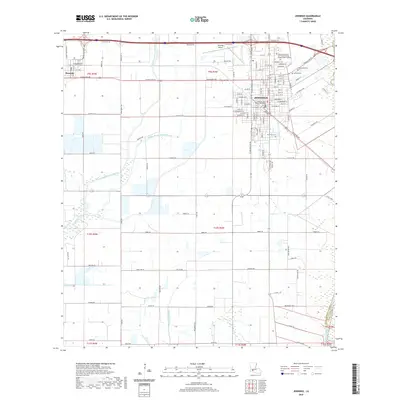
Editions of this 1955 Jennings Map
4 editions found
Historical Maps of Jennings Through Time
10 maps found
1946 Jennings
Jefferson Davis Parish, LA
1954 Jennings
Jefferson Davis Parish, LA
1955 Jennings
Jefferson Davis Parish, LA
1964 Jennings
Jefferson Davis Parish, LA
1985 Jennings
Jefferson Davis Parish, LA
2012 Jennings
Jefferson Davis Parish, LA
2015 Jennings
Jefferson Davis Parish, LA
2018 Jennings
Jefferson Davis Parish, LA
2020 Jennings
Jefferson Davis Parish, LA
2024 Jennings
Jefferson Davis Parish, LA