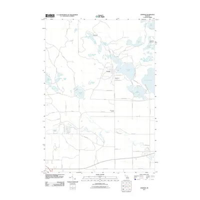
2011 Map of Jennings
USGS Topo · Published 2011About this map
Jennings serves as the central hub of this northern Michigan landscape, situated just west of the prominent waters of Crooked Lake. The settlement's history is physically anchored by the Old Jennings Cemetery and New Jennings Cemetery, while the surrounding terrain is defined by a dense concentration of glacial lakes. To the east, the map captures portions of Lake Missaukee and Lake Sapphire, while the Clam River meanders through the southern half of the quadrangle. A notable landscape marker is the Old RR bed south of town, hinting at the area's industrial past. The northern reaches are dotted with recreational sites like the Long Lake State Forest Campground and Whitlock Lake, reflecting the region's enduring character as a destination for outdoor life amidst a complex network of county roads and family-named routes.
Find a feature on this map
76 named features on this map. Tap any name to fly to it.
Don’t see what you’re looking for? This feature index may not catch every label — zoom into the map to look around manually.
Map Details
Editions of this 2011 Jennings Map
This is the sole edition of this map. No revisions or reprints were ever made.
Other maps of this area

1954 · Traverse City
USGS Topo · 1:250,000

1956 · Cadillac North
USGS Topo · 1:62,500

1956 · Lake City
USGS Topo · 1:62,500

1957 · Cadillac South
USGS Topo · 1:62,500

1957 · Marion
USGS Topo · 1:62,500

1958 · Traverse City
USGS Topo · 1:250,000

1983 · Cadillac
USGS Topo · 1:100,000

1983 · Lake City
USGS Topo · 1:25,000

1983 · Manton
USGS Topo · 1:25,000

1983 · Cadillac North
USGS Topo · 1:24,000