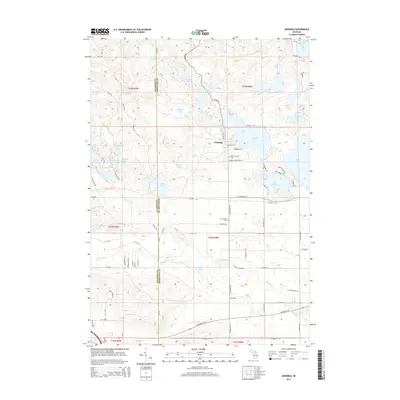
2014 Map of Jennings
USGS Topo · Published 2014About this map
Jennings serves as the central hub of this northern Michigan landscape, positioned along the shores of Crooked Lake on the border between Wexford and Missaukee Counties. The map reveals a high density of water bodies, from the larger Lake Missaukee and Lake Sapphire in the east to a cluster of smaller lakes like Whitlock Lake, Clear Lake, and Shallow Lake to the north. A legacy of the region's transport history is visible in the alignment of Old RR Rd, which suggests the route of a former rail line that once served the local timber or agricultural economy. The drainage of the Clam River and Gunnerson Cr defines the southern terrain, while genealogists will find specific points of interest in the Old Jennings Cem and New Jennings Cem, which anchor the community's history to the land.
Find a feature on this map
77 named features on this map. Tap any name to fly to it.
Don’t see what you’re looking for? This feature index may not catch every label — zoom into the map to look around manually.
Map Details
Editions of this 2014 Jennings Map
This is the sole edition of this map. No revisions or reprints were ever made.
Other maps of this area

1954 · Traverse City
USGS Topo · 1:250,000

1956 · Cadillac North
USGS Topo · 1:62,500

1956 · Lake City
USGS Topo · 1:62,500

1957 · Cadillac South
USGS Topo · 1:62,500

1957 · Marion
USGS Topo · 1:62,500

1958 · Traverse City
USGS Topo · 1:250,000

1983 · Cadillac
USGS Topo · 1:100,000

1983 · Lake City
USGS Topo · 1:25,000

1983 · Manton
USGS Topo · 1:25,000

1983 · Cadillac North
USGS Topo · 1:24,000