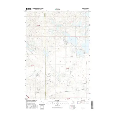
2017 Map of Jennings
USGS Topo · Published 2017About this map
Jennings and the northern edge of Cadillac anchor this landscape along the border of Wexford and Missaukee counties. The area is defined by a dense concentration of glacial lakes, including the large Lake Missaukee and Crooked Lake, alongside smaller bodies like Whitlock Lake and Sheridan Lake. This hydrological network is connected by Gunnerson Creek and the Clam River, which winds through the southern portion of the quadrangle. For those researching local heritage, the map identifies both the New Jennings Cemetery and Old Jennings Cemetery, providing important markers for the community's history. The Shore to Shore Trail cuts through the western section, illustrating the recreational corridors that traverse these woodlands and lakeside regions. The layout of local roads, such as W Jennings Road and Watergate Road, reflects a rural settlement pattern deeply integrated with the surrounding water features.
Find a feature on this map
90 named features on this map. Tap any name to fly to it.
Don’t see what you’re looking for? This feature index may not catch every label — zoom into the map to look around manually.
Map Details
Editions of this 2017 Jennings Map
This is the sole edition of this map. No revisions or reprints were ever made.
Other maps of this area

1954 · Traverse City
USGS Topo · 1:250,000

1956 · Cadillac North
USGS Topo · 1:62,500

1956 · Lake City
USGS Topo · 1:62,500

1957 · Cadillac South
USGS Topo · 1:62,500

1957 · Marion
USGS Topo · 1:62,500

1958 · Traverse City
USGS Topo · 1:250,000

1983 · Cadillac
USGS Topo · 1:100,000

1983 · Lake City
USGS Topo · 1:25,000

1983 · Manton
USGS Topo · 1:25,000

1983 · Cadillac North
USGS Topo · 1:24,000