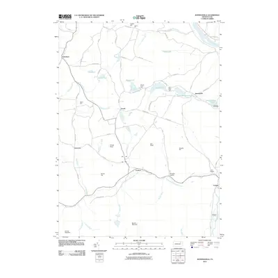
2010 Map of Jenningsville
USGS Topo · Published 2010About this map
Jenningsville and the winding course of the Susquehanna River define this corner of Pennsylvania's ridge-and-valley landscape during the early 21st century. The map illustrates a rural network of small hamlets and farmsteads connected by local routes like Old Route 6 and Sharpe Pond Rd. Water management is a visible priority here, evidenced by engineered structures like the Sharpe Pond Dam, Negro Pond Dam, and Jennings Pond Dam.
Find a feature on this map
67 named features on this map. Tap any name to fly to it.
Don’t see what you’re looking for? This feature index may not catch every label — zoom into the map to look around manually.
Map Details
Editions of this 2010 Jenningsville Map
This is the sole edition of this map. No revisions or reprints were ever made.
Other maps of this area

1891 · Harveys Lake
USGS Topo · 1:62,500

1893 · Harvey Lake
USGS Topo · 1:62,500

1934 · Laporte
USGS Topo · 1:62,500

1943 · Monroeton
USGS Topo · 1:62,500

1945 · Meshoppen
USGS Topo · 1:62,500

1945 · Auburn Center
USGS Topo · 1:24,000

1945 · Jenningsville
USGS Topo · 1:24,000

1945 · Meshoppen
USGS Topo · 1:24,000

1945 · Laceyville
USGS Topo · 1:24,000

1946 · Dutch Mtn
USGS Topo · 1:24,000
Featured Places
- Wilmot Township, PA
- Colley Township, PA
- Forkston Township, PA
- North Branch Township, PA
- Hollenback, Wilmot Township