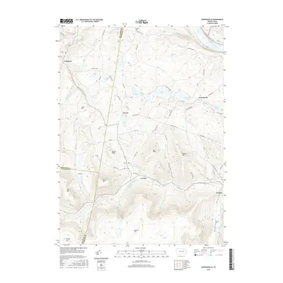
2016 Map of Jenningsville
USGS Topo · Published 2016About this map
Jenningsville and the surrounding highlands of the Endless Mountains sit at a complex meeting point of county lines, where the borders of Bradford, Sullivan, and Wyoming counties converge. The terrain is defined by steep ridges and deep hollows, notably Douglas Hollow and Fort Hollow, which channel water toward the Mehoopany Creek and the Susquehanna River in the northeast corner. Small upland settlements like Stowell and Lovelton are connected by a network of rural routes, including Lovelton Rd and State Rte 4002.
Find a feature on this map
77 named features on this map. Tap any name to fly to it.
Don’t see what you’re looking for? This feature index may not catch every label — zoom into the map to look around manually.
Map Details
Editions of this 2016 Jenningsville Map
This is the sole edition of this map. No revisions or reprints were ever made.
Other maps of this area

1891 · Harveys Lake
USGS Topo · 1:62,500

1893 · Harvey Lake
USGS Topo · 1:62,500

1934 · Laporte
USGS Topo · 1:62,500

1943 · Monroeton
USGS Topo · 1:62,500

1945 · Meshoppen
USGS Topo · 1:62,500

1945 · Auburn Center
USGS Topo · 1:24,000

1945 · Jenningsville
USGS Topo · 1:24,000

1945 · Meshoppen
USGS Topo · 1:24,000

1945 · Laceyville
USGS Topo · 1:24,000

1946 · Dutch Mtn
USGS Topo · 1:24,000
Featured Places
- Wilmot Township, PA
- Colley Township, PA
- Forkston Township, PA
- North Branch Township, PA
- Hollenback, Wilmot Township