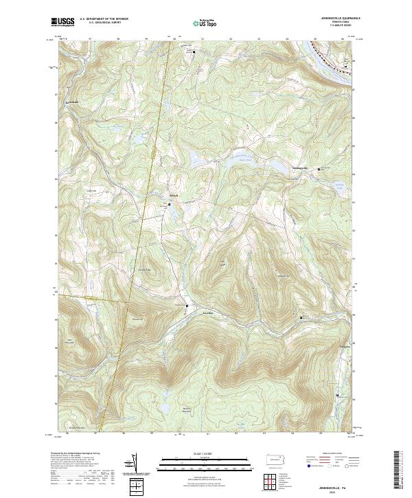
2023 Map of Jenningsville
USGS Topo · Published 2023About this map
Jenningsville and Lovelton serve as the primary hubs in this corner of Wyoming County, where the landscape is defined by the winding course of the North Branch Mehoopany Creek and the Susquehanna River in the northeast. The geography transitions from the river lowlands near Black Walnut Cem to the significant elevations of Bartlett Mountain and Tyler Mountain. Small settlements like Stowell and Hollenback are linked by a network of rural roads such as State Rte 4002 and Golden Hill Rd, tracing the valleys between Shingle Ridge and Oak Ridge. This area retains a deep-rooted sense of place, evidenced by numerous small burial sites like the Winslow Family Plot and Saint Anthonys Cem. The presence of Big Deer Swamp and Graves Pond suggests a terrain that remains largely undeveloped, preserving the character of these mountain communities.
Find a feature on this map
68 named features on this map. Tap any name to fly to it.
Don’t see what you’re looking for? This feature index may not catch every label — zoom into the map to look around manually.
Map Details
Editions of this 2023 Jenningsville Map
This is the sole edition of this map. No revisions or reprints were ever made.
Other maps of this area

1891 · Harveys Lake
USGS Topo · 1:62,500

1893 · Harvey Lake
USGS Topo · 1:62,500

1934 · Laporte
USGS Topo · 1:62,500

1943 · Monroeton
USGS Topo · 1:62,500

1945 · Meshoppen
USGS Topo · 1:62,500

1945 · Auburn Center
USGS Topo · 1:24,000

1945 · Jenningsville
USGS Topo · 1:24,000

1945 · Meshoppen
USGS Topo · 1:24,000

1945 · Laceyville
USGS Topo · 1:24,000

1946 · Dutch Mtn
USGS Topo · 1:24,000
Featured Places
- Wilmot Township, PA
- Colley Township, PA
- Forkston Township, PA
- North Branch Township, PA
- Jenningsville, Windham Township