
1945 Map of Jenningsville
USGS Topo · Published 1956About this map
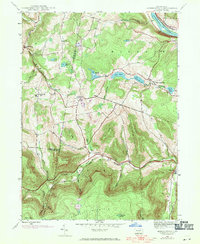
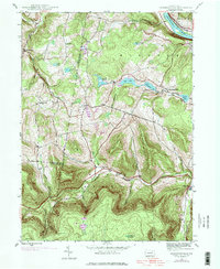
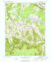
The Susquehanna River cuts through the northeast corner of this territory, where the Lehigh Valley Railroad and Roosevelt Highway follow its banks past the township of Braintrim. Moving south into the interior of Wyoming County, the landscape rises into the ridges of North Mountain and Briskey Mtn, drained by the winding North Branch Mehoopany Creek. This 1945 survey documents a traditional rural landscape defined by small crossroad settlements and upland farming. Education is anchored by a network of local institutions including Golden Hill Sch, Sugar Hill Sch, and Grant Hill Sch. Family history is rooted in communities like Jenningsville and Lovelton, while the Robinson Cem near Forkston provides a specific point of interest for genealogists tracing early residents of the Mehoopany valley.
Find a feature on this map
46 named features on this map. Tap any name to fly to it.
Don’t see what you’re looking for? This feature index may not catch every label — zoom into the map to look around manually.
Map Details
Editions of this 1945 Jenningsville Map
4 editions found
Other maps of this area

1891 · Harveys Lake
USGS Topo · 1:62,500

1893 · Harvey Lake
USGS Topo · 1:62,500

1934 · Laporte
USGS Topo · 1:62,500

1943 · Monroeton
USGS Topo · 1:62,500

1945 · Meshoppen
USGS Topo · 1:62,500

1945 · Auburn Center
USGS Topo · 1:24,000

1945 · Meshoppen
USGS Topo · 1:24,000

1945 · Laceyville
USGS Topo · 1:24,000

1946 · Dutch Mtn
USGS Topo · 1:24,000

1946 · Noxen
USGS Topo · 1:24,000
Featured Places
- Wilmot Township, PA
- Colley Township, PA
- Forkston Township, PA
- Lovelton, North Branch Township
- North Branch Township, PA