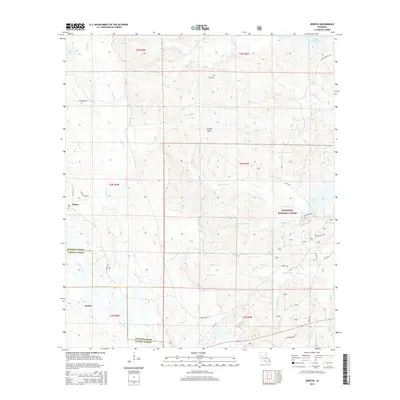
2015 Map of Jericho
USGS Topo · Published 2015About this map
Jericho and Clifton sit within a landscape defined by the drainage networks of the Kisatchie National Forest along the border of Rapides Parish and Vernon Parish. The terrain is characterized by the Dough Hills and a dense web of waterways, including Canal Bayou, Sieper Cr, and Comrade Cr. For those tracing local heritage, several small family or community burial grounds are documented, such as Hill Cem in the north and Noel Cem near Clifton. The eastern edge of the survey area touches upon Cotile Lake and the southern tip of Lake Rodemacher, reflecting the importance of water management and recreation in this part of Louisiana. Transportation in the mid-2010s relied on a network of rural roads like Hwy 1200 and Clifton Rd, which connect these small settlements through the piney woods and creek bottoms.
Find a feature on this map
43 named features on this map. Tap any name to fly to it.
Don’t see what you’re looking for? This feature index may not catch every label — zoom into the map to look around manually.
Map Details
Editions of this 2015 Jericho Map
This is the sole edition of this map. No revisions or reprints were ever made.
Other maps of this area

1932 · Boyce SW
USGS Topo · 1:31,680

1937 · Chopin NE
USGS Topo · 1:31,680

1937 · Chopin SW
USGS Topo · 1:31,680

1937 · Chopin NW
USGS Topo · 1:31,680

1937 · Chopin SE
USGS Topo · 1:31,680

1941 · Boyce
USGS Topo · 1:62,500

1943 · Leander
USGS Topo · 1:62,500

1944 · Chopin
USGS Topo · 1:62,500

1948 · Chopin
USGS Topo · 1:62,500

1949 · Boyce NW
USGS Topo · 1:31,680