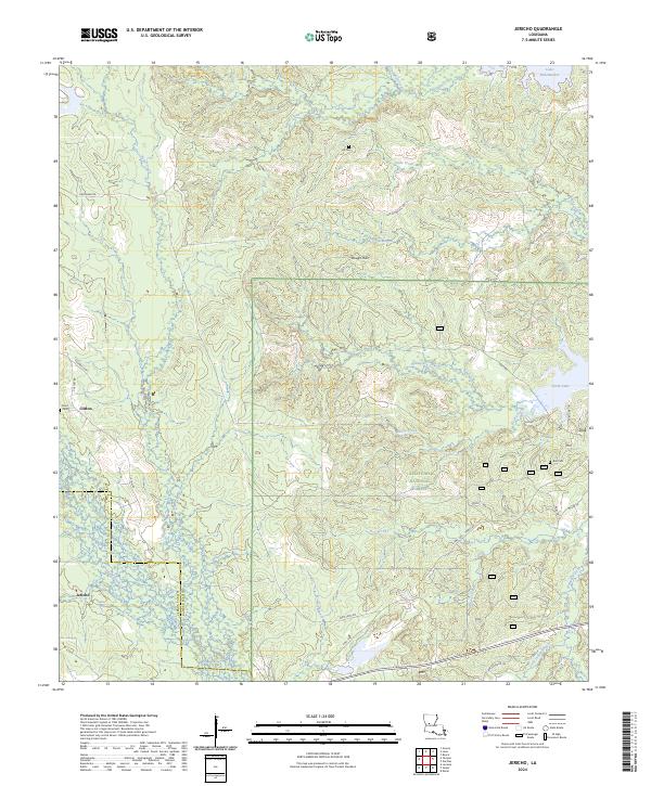
2024 Map of Jericho
USGS Topo · Published 2024About this map
Kisatchie National Forest dominates this Central Louisiana landscape, where the forested hills are dissected by an intricate network of waterways. The terrain is defined by the Dough Hills and a series of drainages including Canal Bayou, Rocky Creek, and Hemphill Creek that flow through the dense pine woods. Small communities like Clifton and Jericho anchor the southwestern portion of the sheet, providing a look at the rural settlement patterns along the border of Vernon and Rapides Parishes. Local history is preserved in small family and community burial grounds such as Hill Cem, Noel Cem, and Ball Cem, which remain as quiet landmarks in the timberlands. To the northeast, the presence of Lake Rodemacher and Cotile Lake indicates the importance of water management and recreation in this heavily wooded region.
Find a feature on this map
40 named features on this map. Tap any name to fly to it.
Don’t see what you’re looking for? This feature index may not catch every label — zoom into the map to look around manually.
Map Details
Editions of this 2024 Jericho Map
This is the sole edition of this map. No revisions or reprints were ever made.
Other maps of this area

1932 · Boyce SW
USGS Topo · 1:31,680

1937 · Chopin NE
USGS Topo · 1:31,680

1937 · Chopin SW
USGS Topo · 1:31,680

1937 · Chopin NW
USGS Topo · 1:31,680

1937 · Chopin SE
USGS Topo · 1:31,680

1941 · Boyce
USGS Topo · 1:62,500

1943 · Leander
USGS Topo · 1:62,500

1944 · Chopin
USGS Topo · 1:62,500

1948 · Chopin
USGS Topo · 1:62,500

1949 · Boyce NW
USGS Topo · 1:31,680