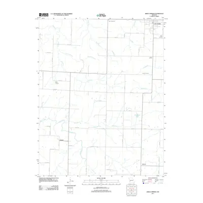
2021 Map of Jerico Springs
USGS Topo · Published 2021About this map
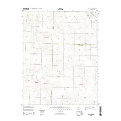
Jerico Springs serves as the primary focal point of this southwestern Missouri landscape, situated at the junction of Barton and Cedar counties. The terrain is defined by a dense network of tributaries including Horse Creek, Chaney Br, and Maybee Br, which carve through the undulating countryside. To the south, the small settlements of Newport and Sylvania anchor the rural road system, while several family and community burial grounds, such as Round Prairie Cem and German Cem, provide significant markers for genealogical research.
Find a feature on this map
73 named features on this map. Tap any name to fly to it.
Don’t see what you’re looking for? This feature index may not catch every label — zoom into the map to look around manually.
Map Details
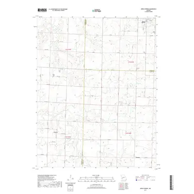
Editions of this 2021 Jerico Springs Map
This is the sole edition of this map. No revisions or reprints were ever made.
Historical Maps of Newport Through Time
5 maps found